| Site located? |
Yes |
| Proximity to coast edge |
Coast edge |
| Coastally eroding? |
active sea erosion; has eroded in the past |
| Threats |
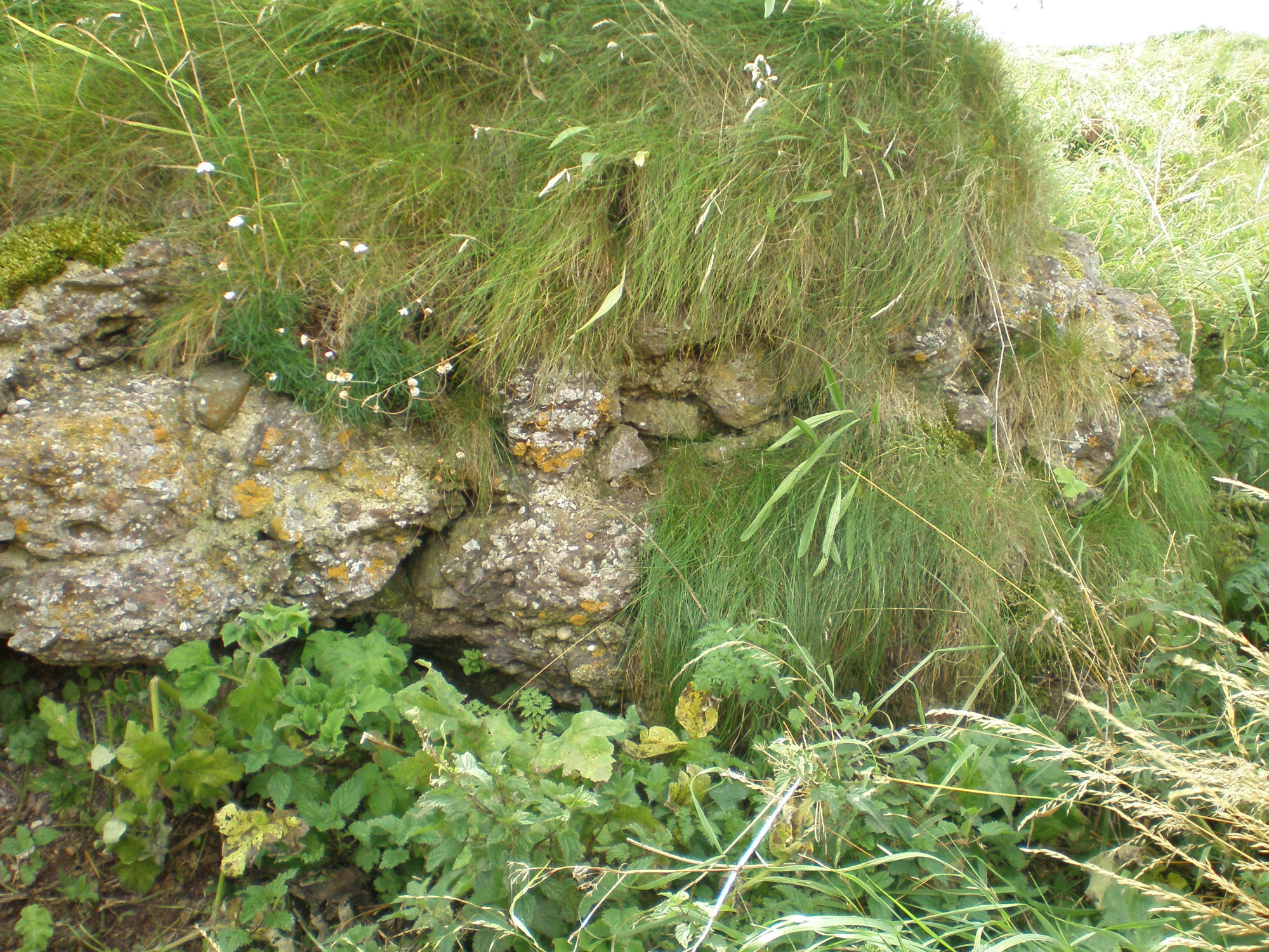
vegetation growth |
| Visibility above ground |
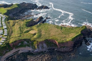
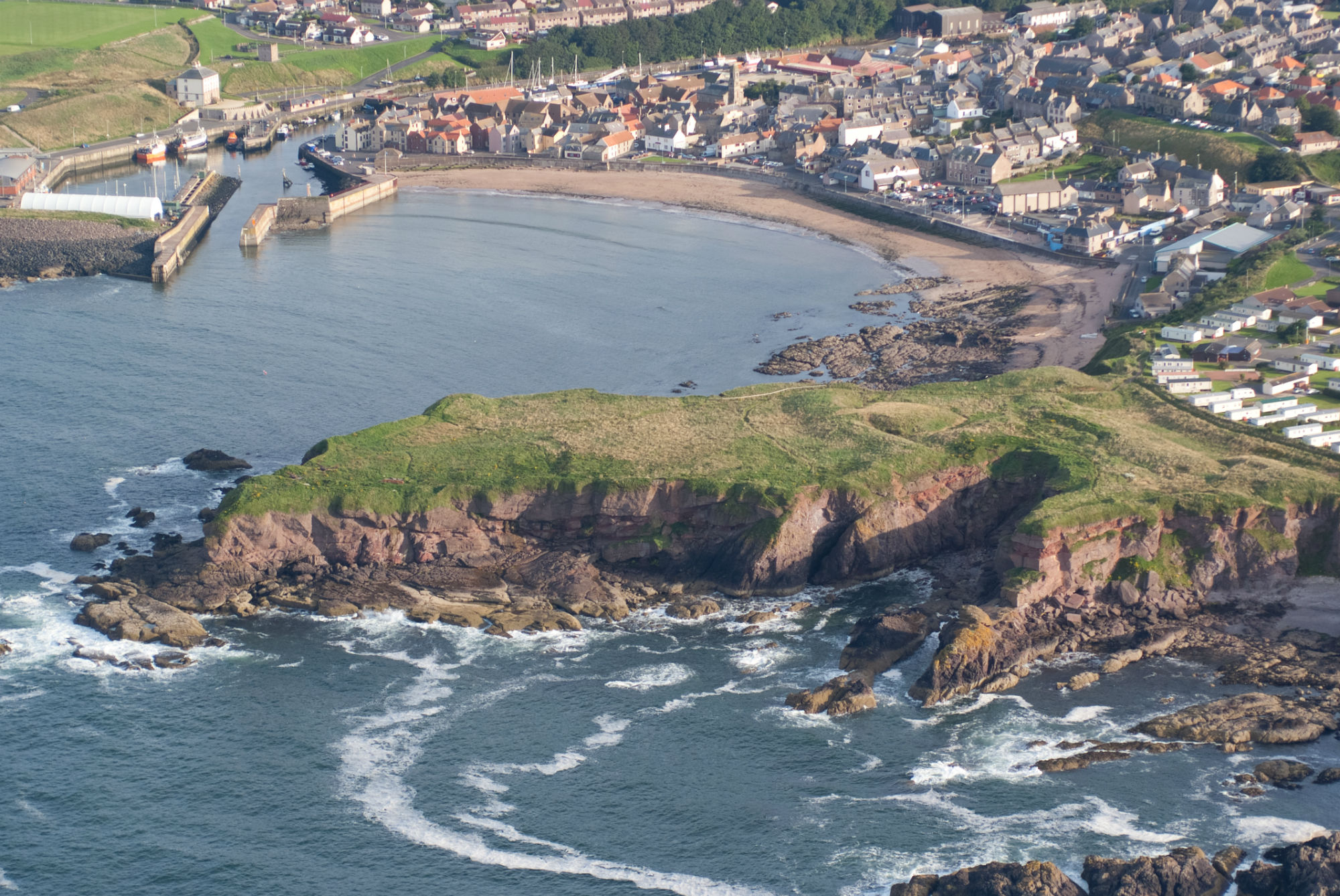
Highly visible (substantial remains) |
| Visibility in section |
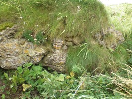
Limited visibility in section |
| Access |
easily accessible - no restrictions; accessible on foot (footpath) |
| Local knowledge |
has local associations/history |
| Description |
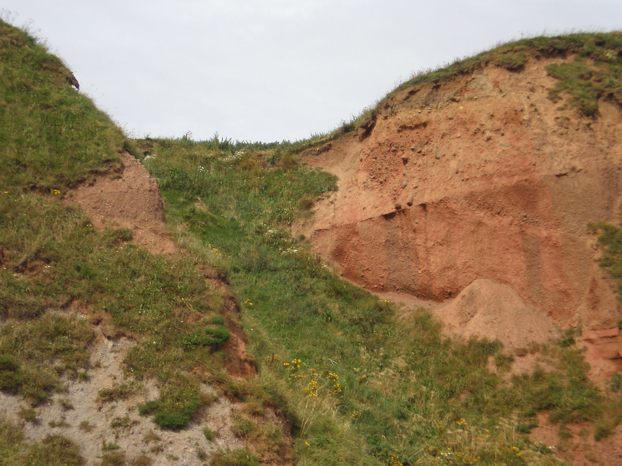
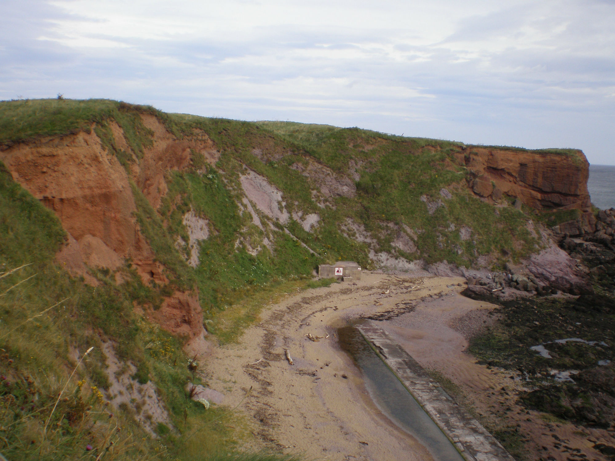
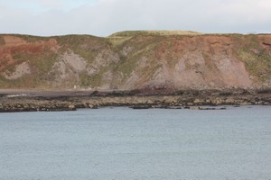
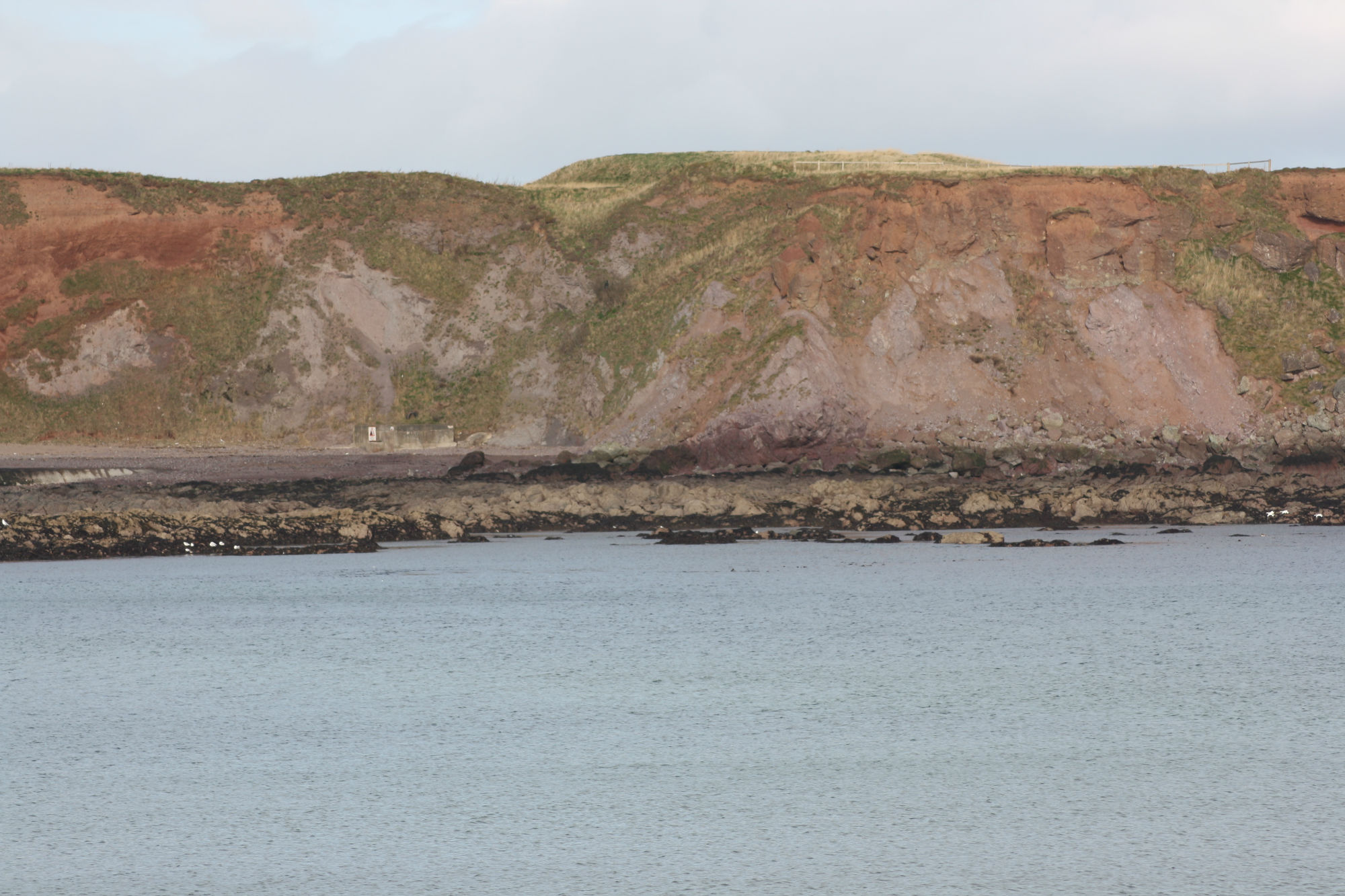
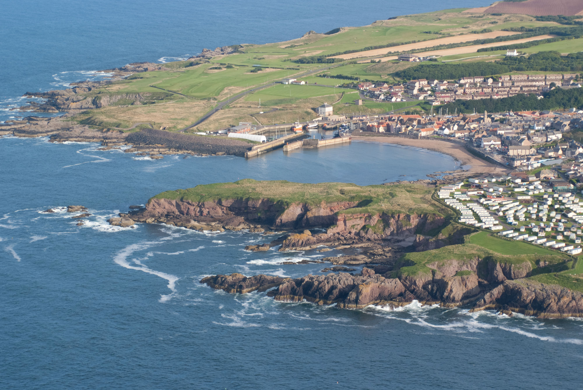
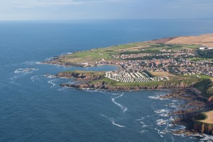
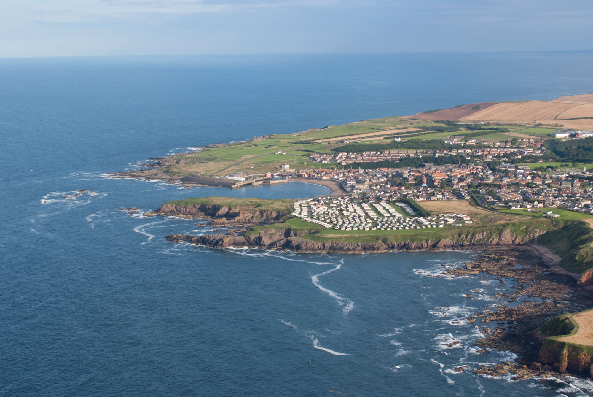
This fort occupies a high promontory above the town of Eyemouth. It was built in 1547 for Protector Somerset by Sir Richard Lee, who later designed the fortifications at Berwick-on-Tweed. It was re-fortified by the French in 1557, when a long curtain wall and a ditch with bastions at either end were built. The cliff edge in this area is very unstable and there is evidence of recent substantial landslip and of coastal erosion. The fortifications on the coast edge are affected and there are numerous exposures showing the stony deposits which form the ramparts. While it is unlikely that this site can be protected against further losses, a programme of monitoring, both on the promontory and among eroded deposits on the beach below may be productive. The site is visible on AP's (B227 3122-4 11/5/49, B755 654-5 25/5/74).
ShoreUPDATE 2014
As described. There is ongoing erosion of the cliffs of the promontory, which has exposed sections through the banks and ditches of the fort's defences. Other issues include a lack of interpretation and access problems caused by long grasses covering the earthworks and much of the interior of the fort. Eyemouth Fort is the subject of a SCHARP ShoreDIG project with the local community to further investigate the site and its condition and to improve access and interpretation of the site.
UPDATE 2016
An on-site interpretation board was installed on the site in September 2016 and explains the history of the site and the two phases of earthworks. A management plan for the site is in preparation. |
| Comments |
Although the vegetation growth identified as a threat is not a threat to the site itself, it obscures the earthworks and prevents easy access to much of the site. |