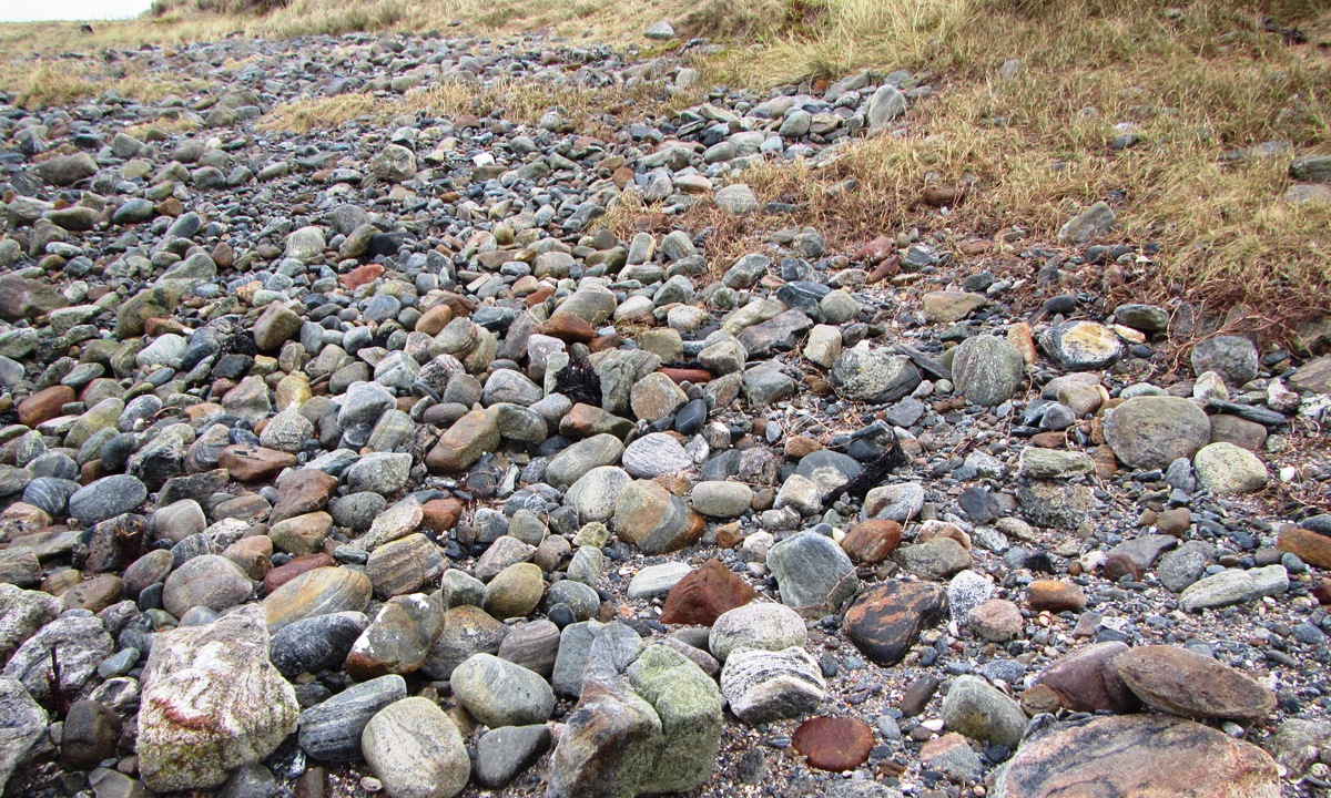
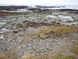
An old ground surface, comprising of anthropogenic deposits has been exposed in plan due to recent erosion. The exposure measures some 14m long by 3.5m wide. It is located on the foreshore between a rocky shelf and a sand and shingle beach and is inundated at high tide. The deposits contain inclusions of animal bone, including cattle bone and burnt or charred bone, shell (cockle, winkle and mussel), peat ash and a large amount of struck quartz. Two small metal objects were present but no pottery was noted. No trace was found of any deposits in the nearby cliff section, which stands some 9m behind this exposure. The level at which this exposure lies, however, is likely to be lower than the base of this section and thus it is probable that the deposits may extend inland below the level of the cliff. The cliff section stands over 1m high and comprises of wind blown sand deposits. These remains are being actively destroyed by the sea and it is recommended that the site be properly assessed without delay.
Update December 2015
The site is now far less extensive than it appeared to be at last year's update. It is not certain if this is due to erosion or from coverage of the site with wave borne light shingle.
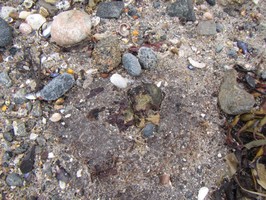
The remaining area of exposure is no more than around 1-2 metres square and the surface is notable as containing much burnt material, some shall sherds of pottery and bone deposits, much of which appears to have been possibly butchered and burned. Loose on the surface was a large piece of bone which appears to be the remains of a cattle horn core.
Update August 2019
Nothing to be seen of the exposure which is covered by shingle. Possible wall remnants on rock platform.
ShoreUPDATE January 2020
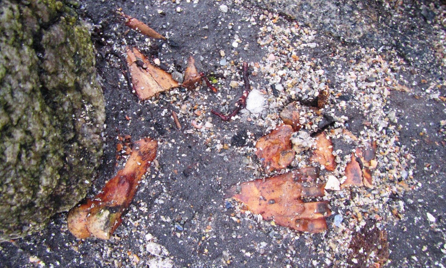
A newly-exposed area of the intertidal peat shelf recorded after Storm Brendan contained animal bone, including a broken fragment, possibly a remnant from butchery / marrow extraction, and an intact cow metatarsal
Update visit - November 2021
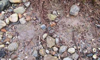
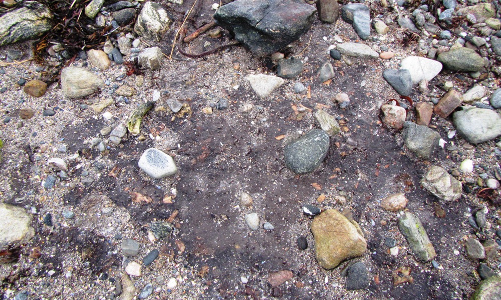
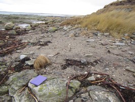
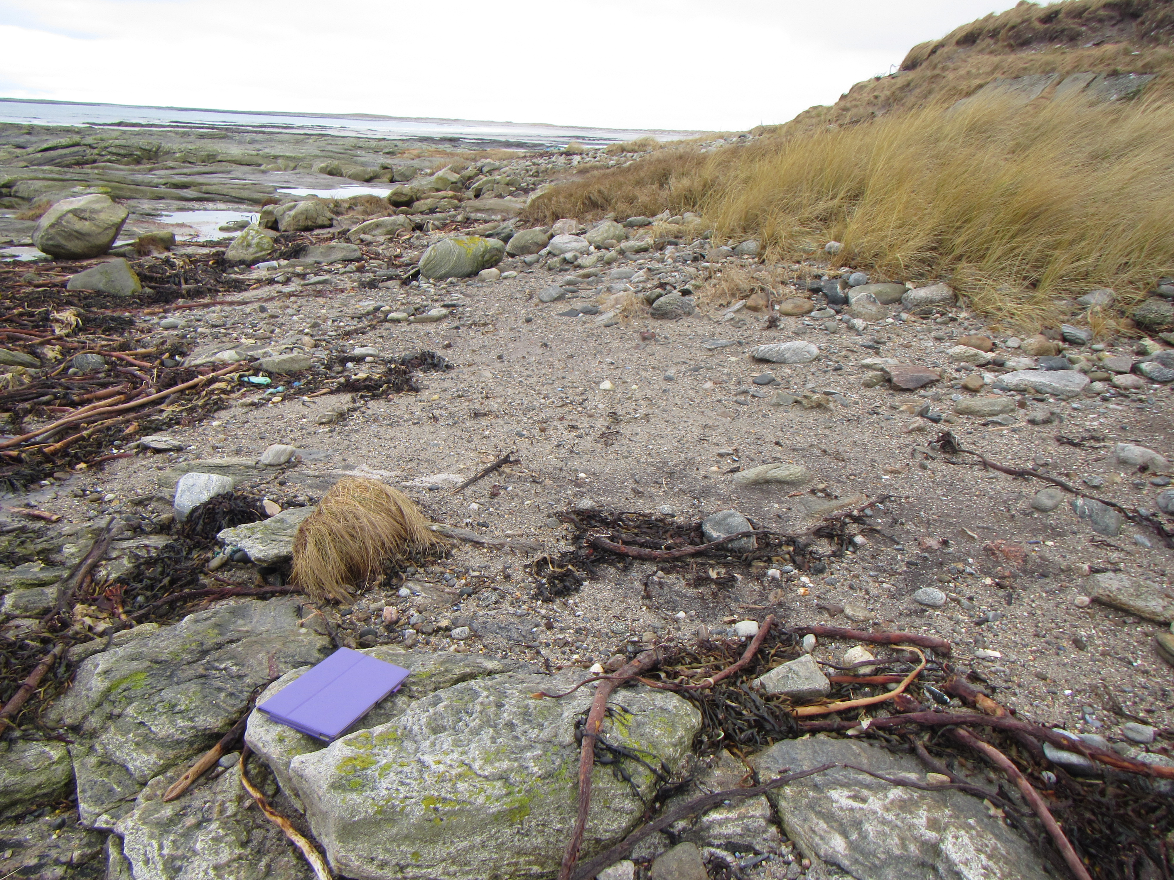
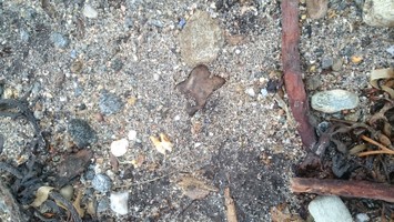
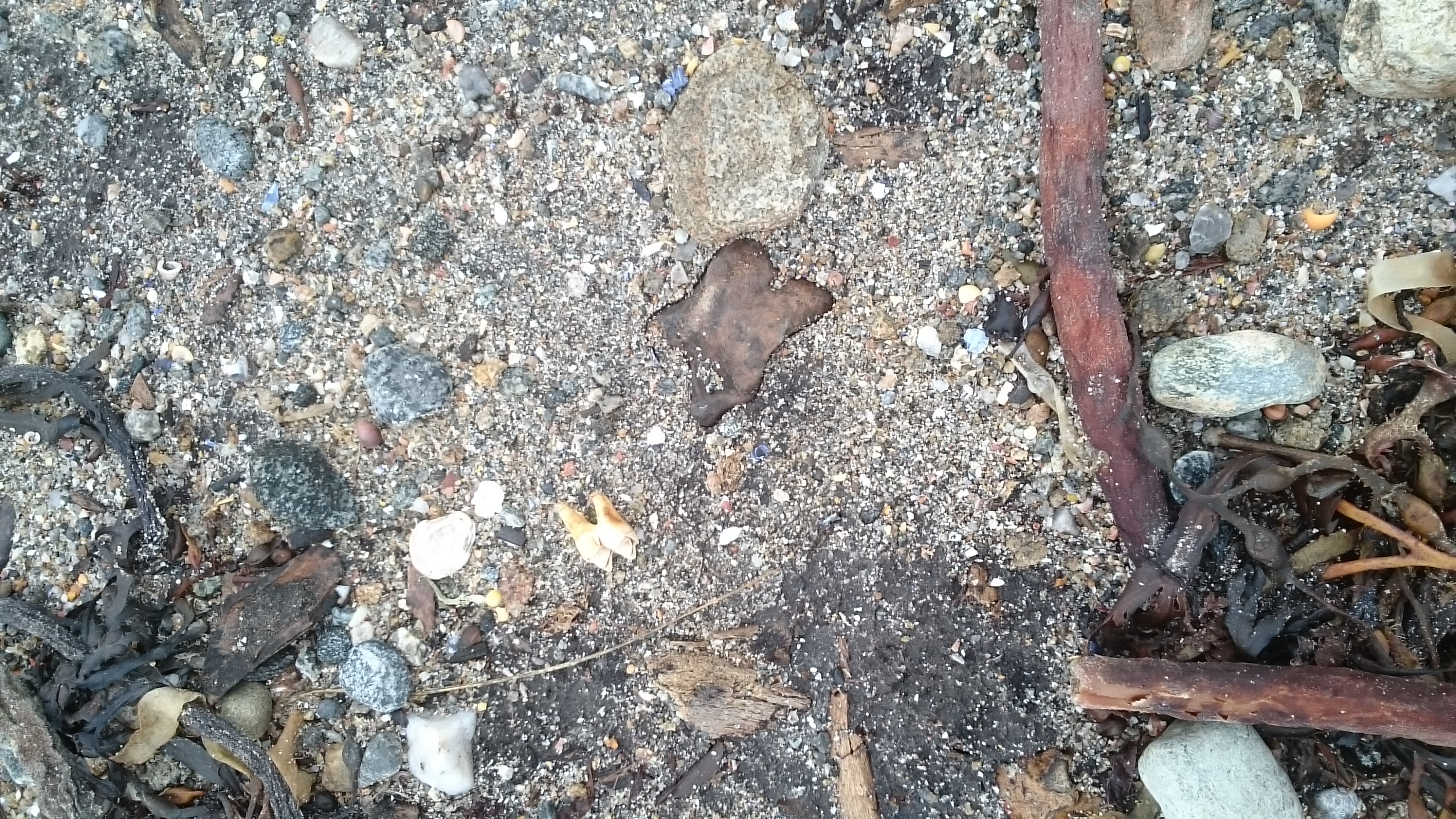
The site is currently mostly covered by accreted debris from recent storm activity, so less than 1m2 was actually exposed, although even this exposure was littered with debris - kelp, pebbles and shells. The main part of the site, including the exposed area visible in 2020 where the bovine bone and associated fragments were found, is now completely covered. It is not known if this recent accretion covers an otherwise intact, eroding surface or if this part of the site was completely eroded before the subsequent accretion layer was deposited. Further intermittent visits will be made to this site and updates will be posted from time to time
Following a series of both named storms and un-named sustained gale force winds coupled with spring tides, the site was visited today (27th February). A fresh exposure was evident a few metres south of the main previous site limits, containing many bone fragments (mostly bovine) and a single portion of Red Deer antler - a first for this site. The new exposure is around 2 sq. metres.
Location
72313.00
827612.00
27700
57.2215424
-7.4313493
Submitted photographs
Image
Date
Caption
User
27/02/2022
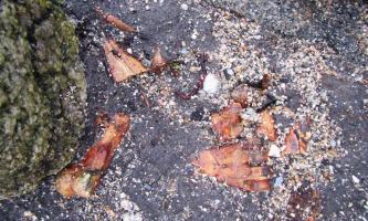
Smaller deposits
Smilemaker
27/02/2022
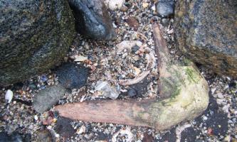
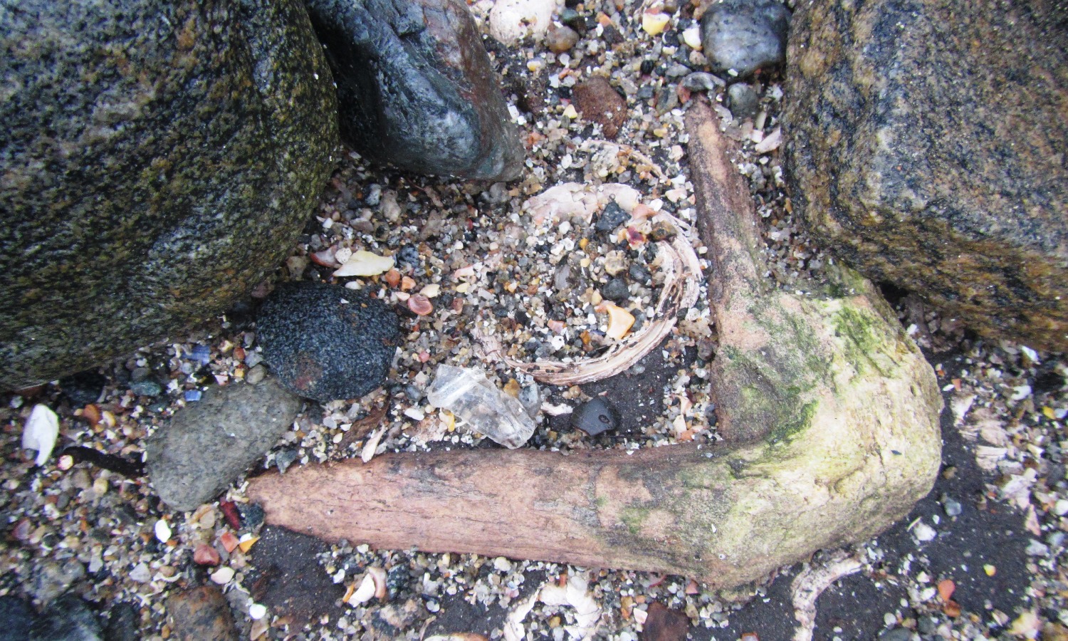
Red deer antler fragment
Smilemaker
27/02/2022
Multiple fragments of bovine bones
Smilemaker
11/11/2021
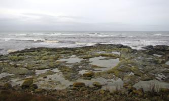
High neap tide at Sgeirr nam Portan
Smilemaker
11/11/2021
this visit\'s exposure
Smilemaker
11/11/2021
Accretion of material over the main site
Smilemaker
26/01/2020
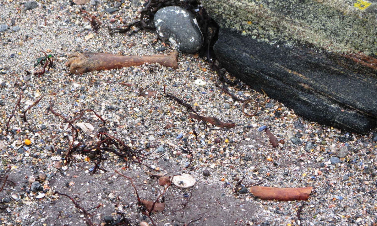
Jan 2020: Two bones recovered from peat after Storm Brendan
Smilemaker
26/01/2020
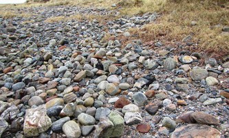
Jan 2020: General view of shore
Smilemaker
17/08/2019
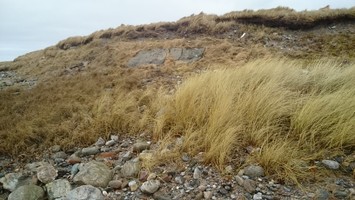
General view of site location and current condition.
joannahambly
17/08/2019
General view of site location and current condition.
joannahambly
13/12/2015
The exposure at December 2015
Smilemaker
06/02/2015
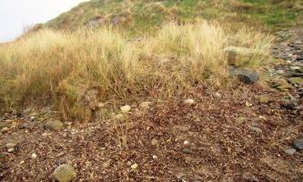
Sgirr nam Portan view from site towards the sea
Smilemaker
06/02/2015
Sgirr nam Portan view along the coast edge
Smilemaker
06/02/2015
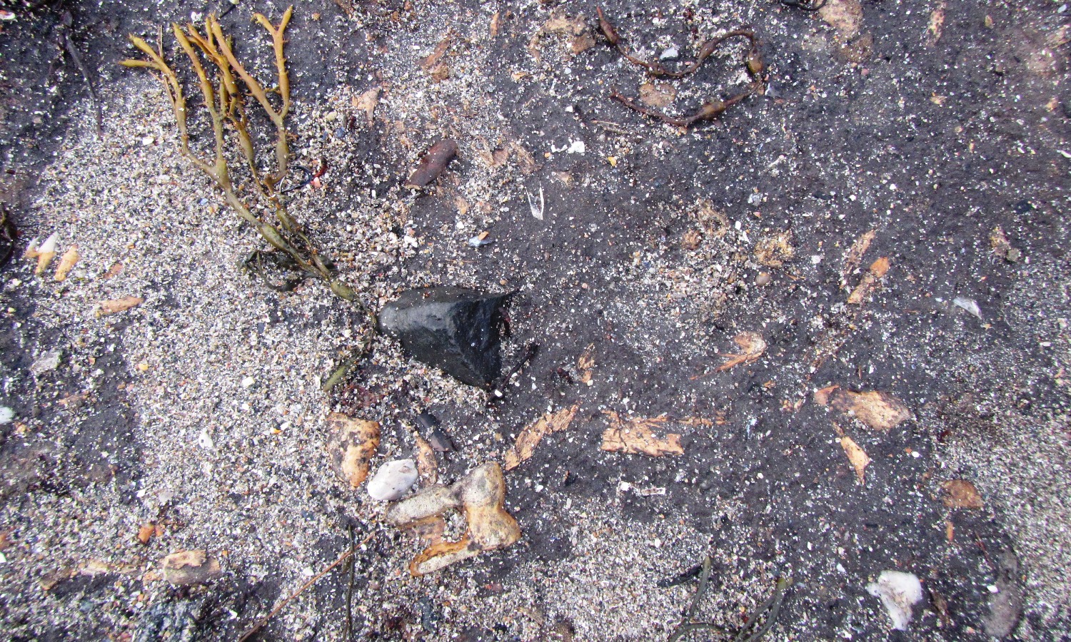
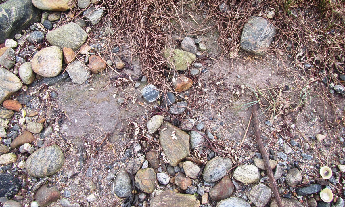
Sgirr nam Portan details of the surface of the deposit
Smilemaker
06/02/2015
Coast edge at Sgirr nam Portan
Smilemaker
06/02/2015
Sgirr nam Portan exposed deposit
Smilemaker
Submitted updates
Update id
Date
User
3639
27/02/2022
Smilemaker
Tidal state
Mid
Site located?
Yes
Proximity to coast edge
Coast edge
Coastally eroding?
active sea erosion
Other threats
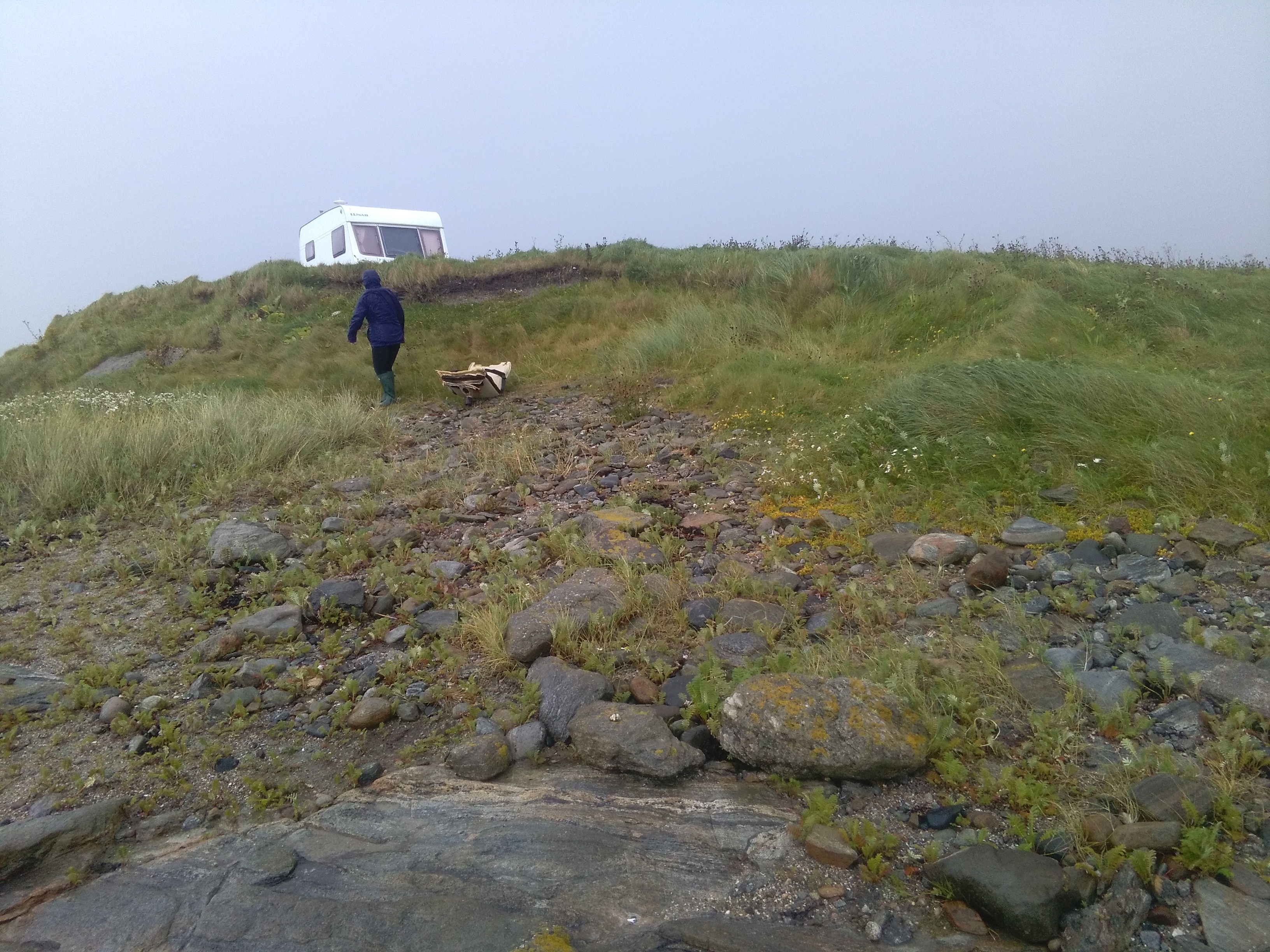
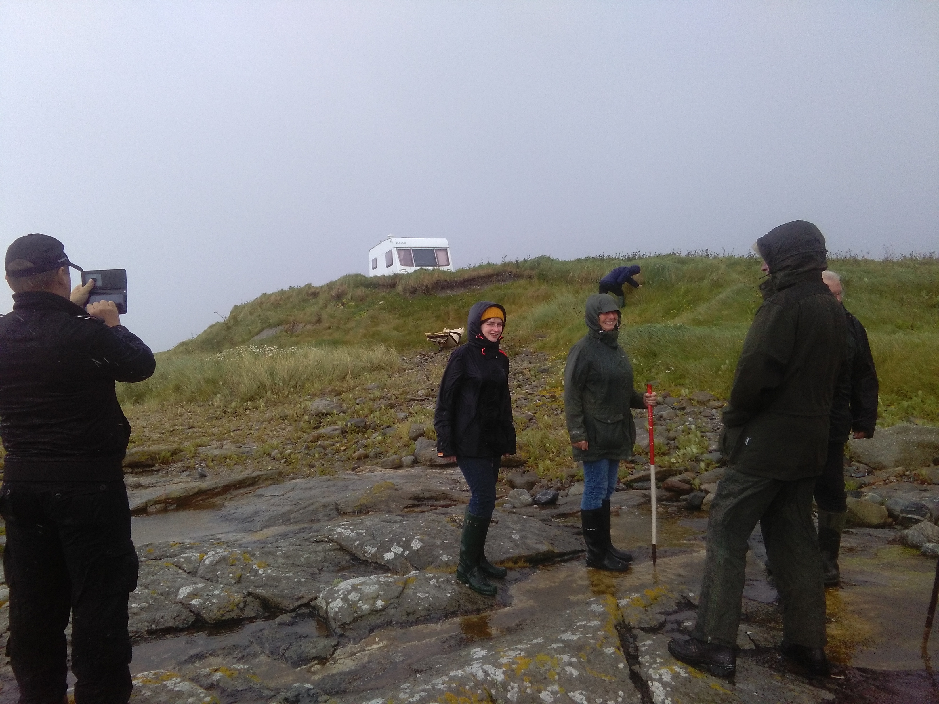
Dune top here is a popular area for visitors in Summer as a parking area for overnight camper vans and occasional wild camping.
Access
easily accessible - no restrictions; accessible on foot (footpath); vehicular access
Local knowledge
is well visited
Description
Following a series of both named storms and un-named sustained gale force winds coupled with spring tides, the site was visited today (27th February). A fresh exposure was evident a few metres south of the main previous site limits, containing many bone fragments (mostly bovine) and a single portion of Red Deer antler - a first for this site. The new exposure is around 2 sq. metres.
3631
11/11/2021
Smilemaker
Tidal state
High
Site located?
Yes
Proximity to coast edge
Coast edge
Coastally eroding?
has eroded in the past; accreting
Other threats
Site is close to a popular site for tourists, wild camping or parking motor homes on the adjacent raised headland
Access
easily accessible - no restrictions; accessible on foot (footpath); vehicular access; accessible on foot (no footpath)
Local knowledge
is well known; is well visited
Description
Update visit - November 2021
The site is currently mostly covered by accreted debris from recent storm activity, so less than 1m2 was actually exposed, although even this exposure was littered with debris - kelp, pebbles and shells. The main part of the site, including the exposed area visible in 2020 where the bovine bone and associated fragments were found, is now completely covered. It is not known if this recent accretion covers an otherwise intact, eroding surface or if this part of the site was completely eroded before the subsequent accretion layer was deposited. Further intermittent visits will be made to this site and updates will be posted from time to time
ongoing intermittent observation visits
3366
26/01/2020
Smilemaker
Description
ShoreUPDATE January 2020
A newly-exposed area of the intertidal peat shelf recorded after Storm Brendan contained animal bone, including a broken fragment, possibly a remnant from butchery / marrow extraction, and an intact cow metatarsal
3259
17/08/2019
joannahambly
Tidal state
Low
Site located?
Yes
Proximity to coast edge
Intertidal
Coastally eroding?
has eroded in the past
Access
easily accessible - no restrictions
Description
An old ground surface, comprising of anthropogenic deposits has been exposed in plan due to recent erosion. The exposure measures some 14m long by 3.5m wide. It is located on the foreshore between a rocky shelf and a sand and shingle beach and is inundated at high tide. The deposits contain inclusions of animal bone, including cattle bone and burnt or charred bone, shell (cockle, winkle and mussel), peat ash and a large amount of struck quartz. Two small metal objects were present but no pottery was noted. No trace was found of any deposits in the nearby cliff section, which stands some 9m behind this exposure. The level at which this exposure lies, however, is likely to be lower than the base of this section and thus it is probable that the deposits may extend inland below the level of the cliff. The cliff section stands over 1m high and comprises of wind blown sand deposits. These remains are being actively destroyed by the sea and it is recommended that the site be properly assessed without delay.
Update December 2015
The site is now far less extensive than it appeared to be at last year's update. It is not certain if this is due to erosion or from coverage of the site with wave borne light shingle.
The remaining area of exposure is no more than around 1-2 metres square and the surface is notable as containing much burnt material, some shall sherds of pottery and bone deposits, much of which appears to have been possibly butchered and burned. Loose on the surface was a large piece of bone which appears to be the remains of a cattle horn core.
Update August 17 2019
Nothing to be seen of the exposure which is covered by shingle. Possible wall remnants on rock platform.
Reassign priority 3. The exposure is mostly washed away and now extremely limited in extent. Foreshore mainly rock platform and small area of shingle over where anthropogenic deposits were recorded.
Comments
Update August 2019
Nothing to be seen of the exposure which is covered by shingle. Possible wall remnants on rock platform.
2306
13/12/2015
Smilemaker
Coastally eroding?
active sea erosion; has eroded in the past
Visibility above ground
Limited visibility (partial remains)
Visibility in section
Not visible
Access
easily accessible - no restrictions; accessible - difficult terrain; vehicular access; accessible on foot (no footpath)
Local knowledge
is not locally known
Description
An old ground surface, comprising of anthropogenic deposits has been exposed in plan due to recent erosion. The exposure measures some 14m long by 3.5m wide. It is located on the foreshore between a rocky shelf and a sand and shingle beach and is inundated at high tide. The deposits contain inclusions of animal bone, including cattle bone and burnt or charred bone, shell (cockle, winkle and mussel), peat ash and a large amount of struck quartz. Two small metal objects were present but no pottery was noted. No trace was found of any deposits in the nearby cliff section, which stands some 9m behind this exposure. The level at which this exposure lies, however, is likely to be lower than the base of this section and thus it is probable that the deposits may extend inland below the level of the cliff. The cliff section stands over 1m high and comprises of wind blown sand deposits. These remains are being actively destroyed by the sea and it is recommended that the site be properly assessed without delay.
Update December 2015
The site is now far less extensive than it appeared to be at last year's update. It is not certain if this is due to erosion or from coverage of the site with wave borne light shingle.
The remaining area of exposure is no more than around 1-2 metres square and the surface is notable as containing much burnt material, some shall sherds of pottery and bone deposits, much of which appears to have been possibly butchered and burned. Loose on the surface was a large piece of bone which appears to be the remains of a cattle horn core.
Carry on observing the site and see what more might be exposed in time, It is likely that there is considerably more of this site still hidden by the current ground level, and will, in time, be revealed. If any significant finds are made at the site, a decision to intervene can be made at that time.