Peterkirk (6829)
Condition
| 2 | |
| Mound & coastal exposure | |
| Iron Age, Early Medieval, Medieval | |
| 3626 | |
| SMR276 | |
| Orkney |
Description
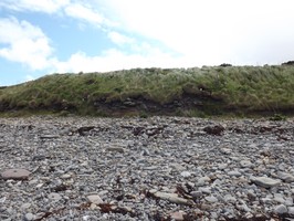
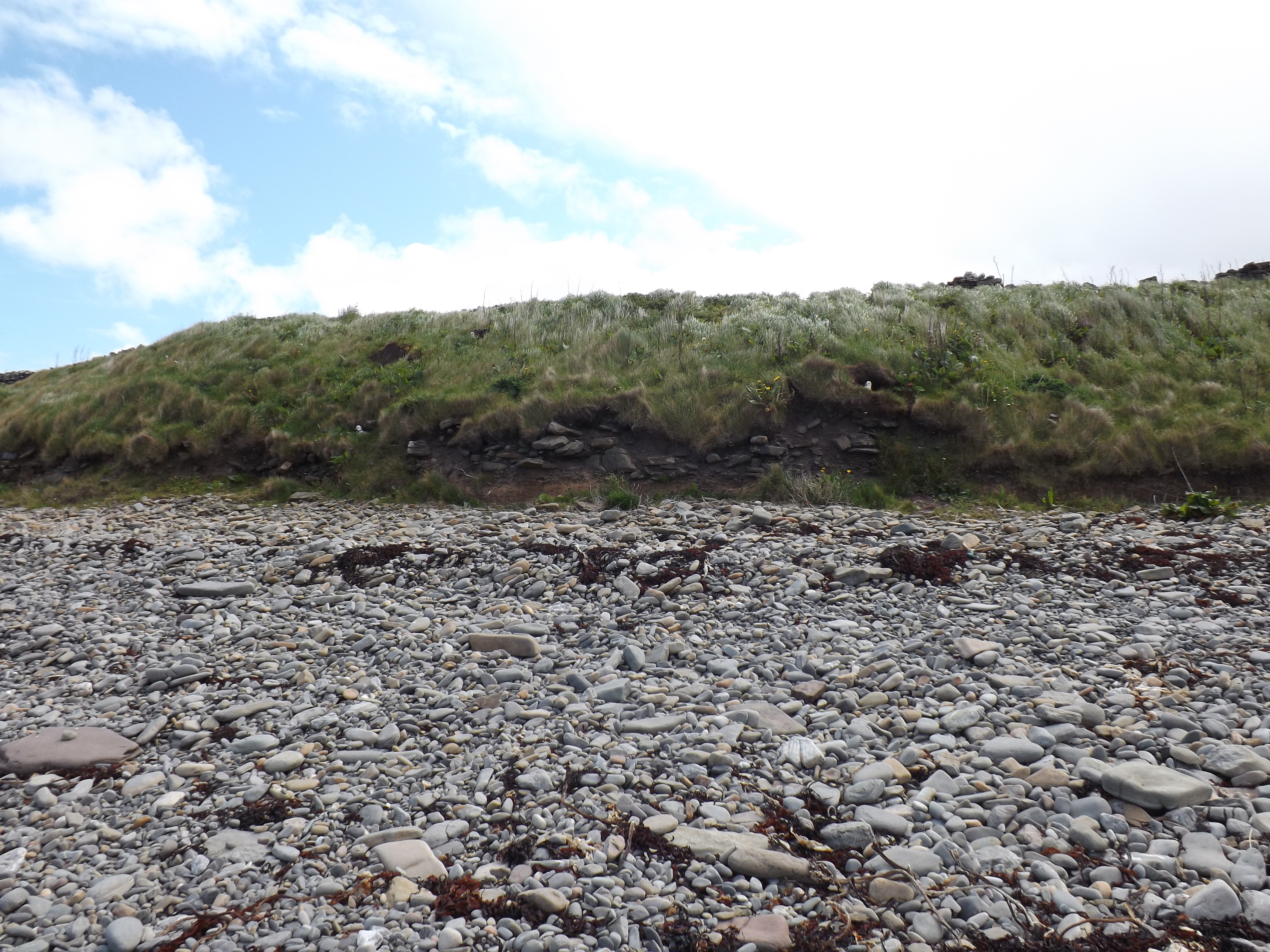
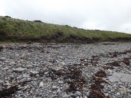
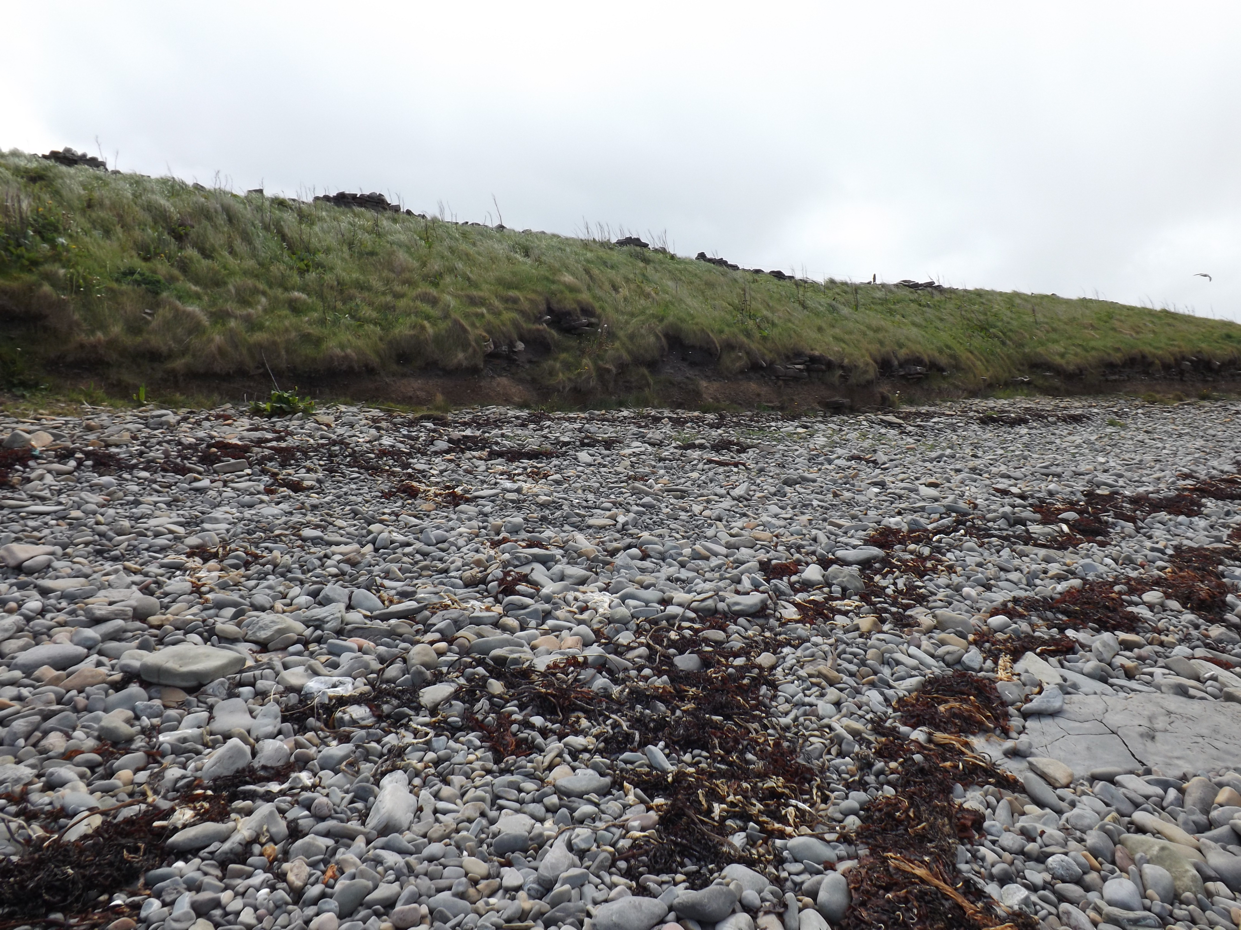
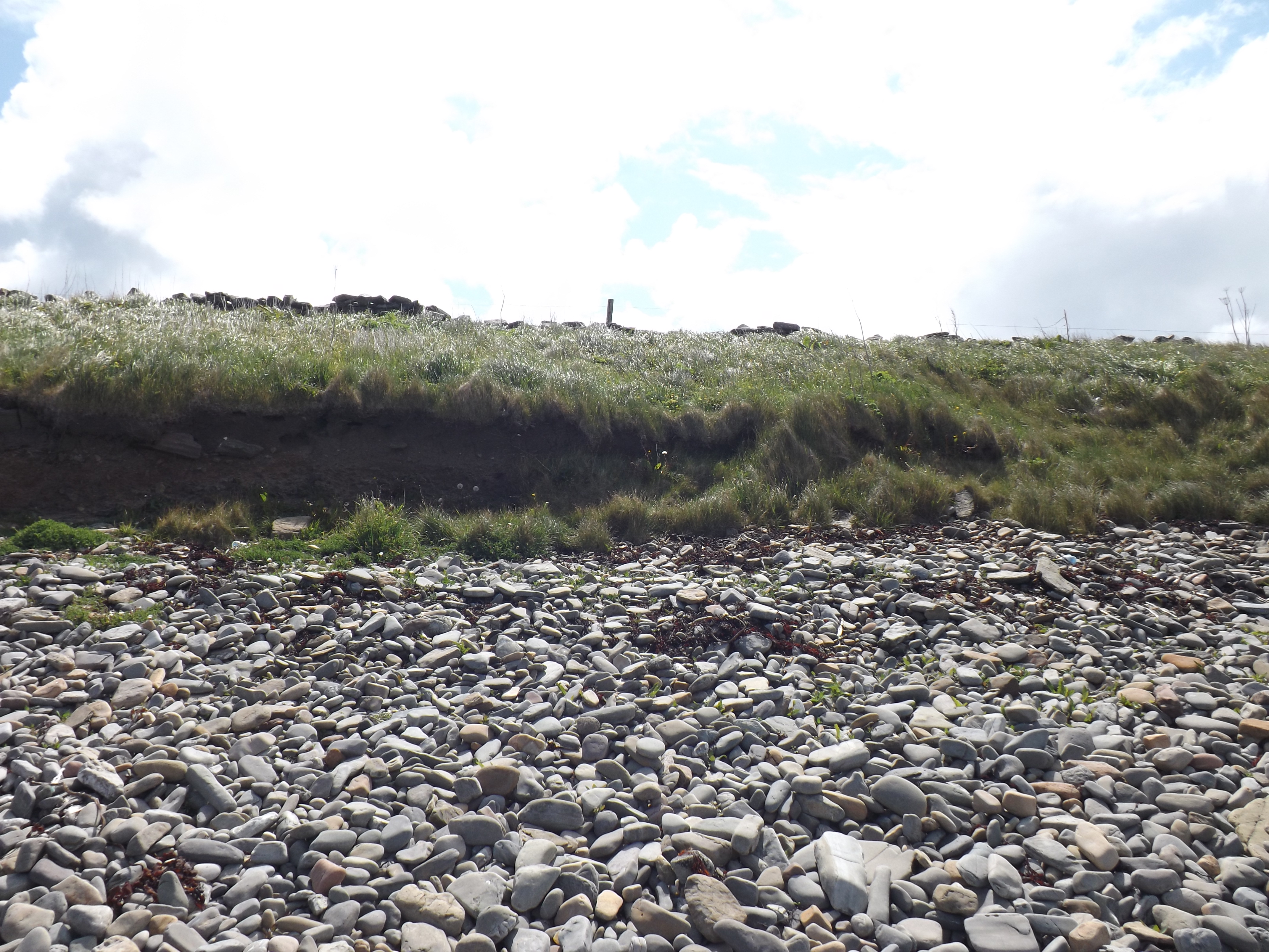
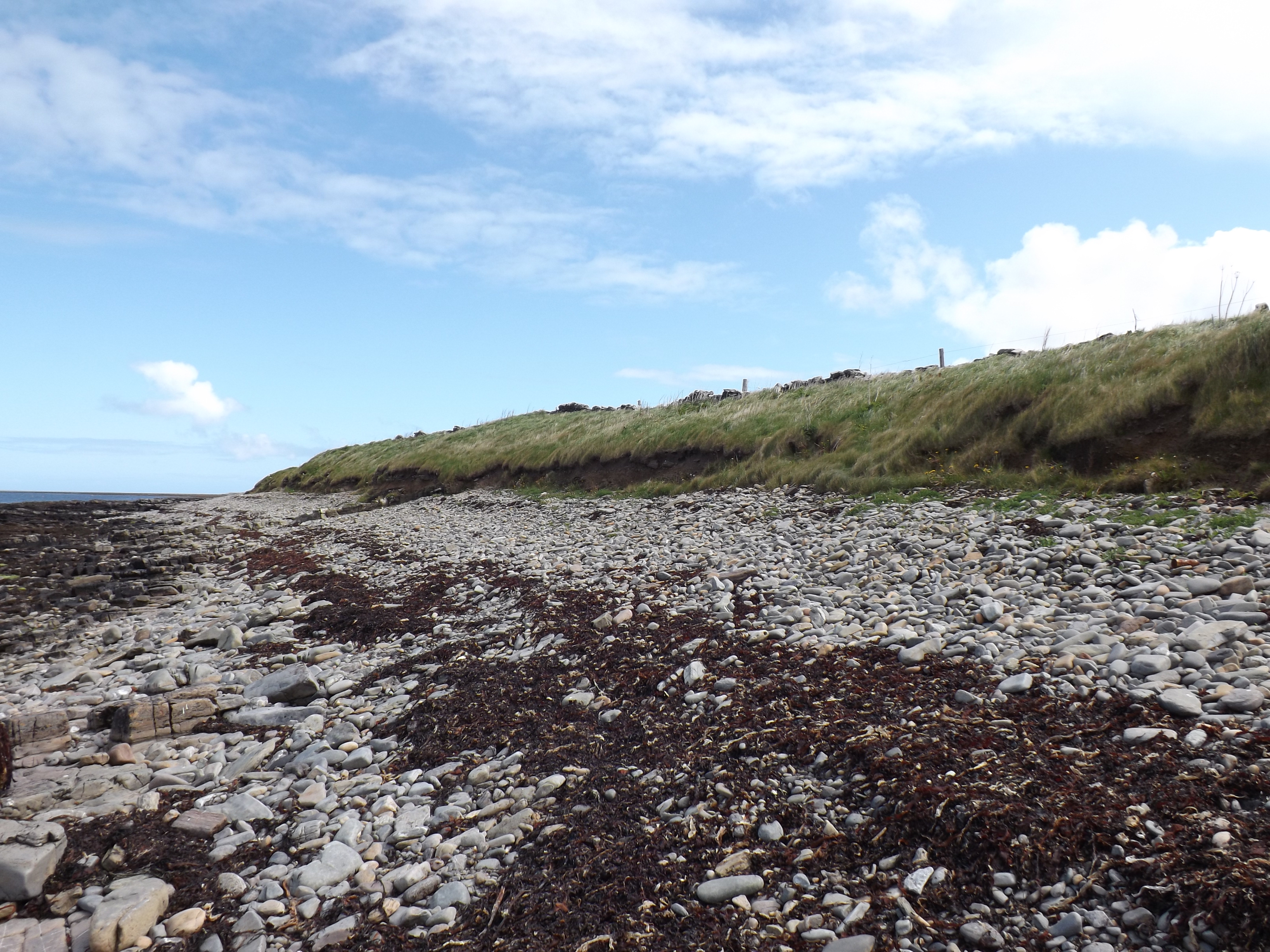
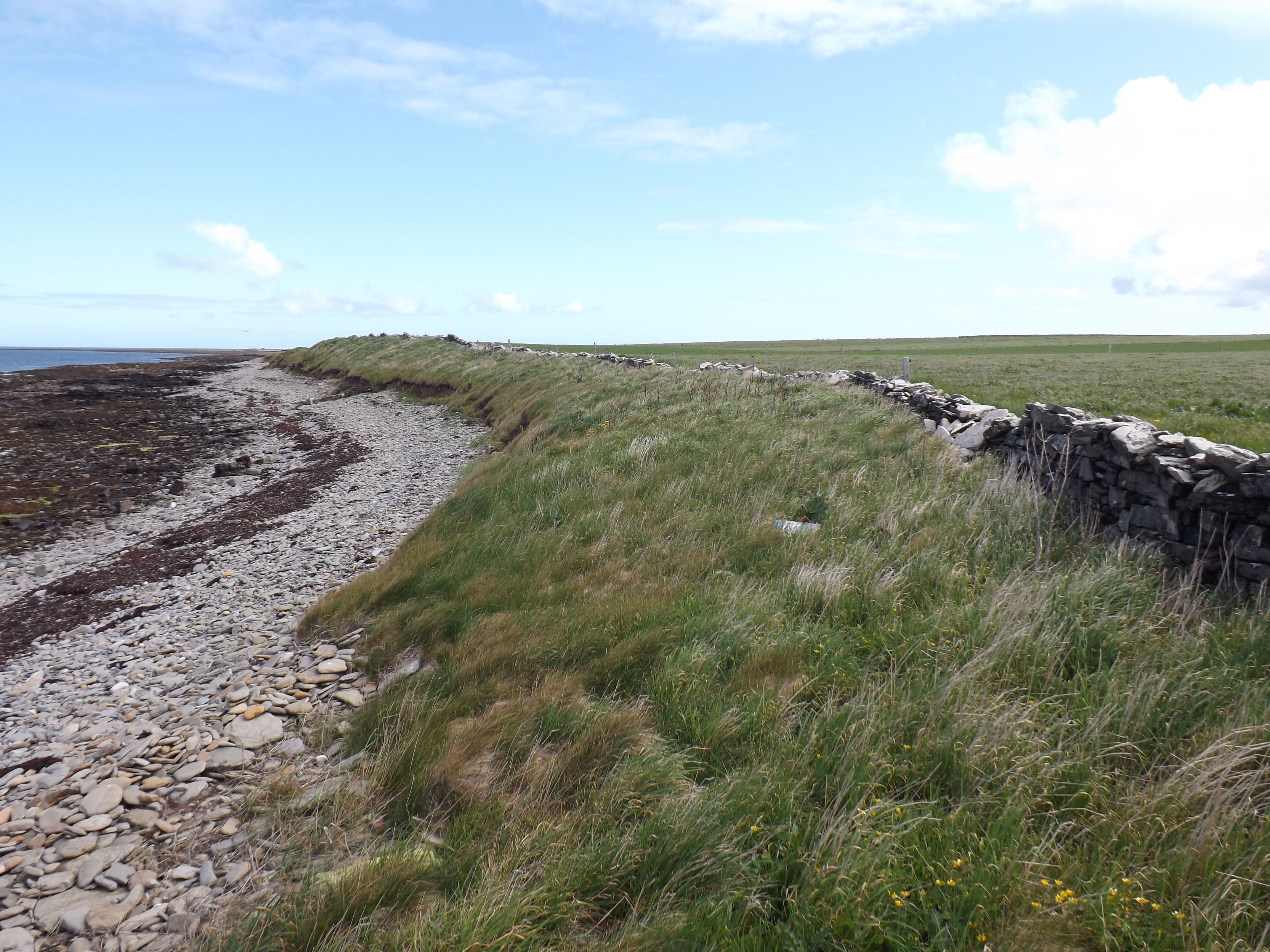
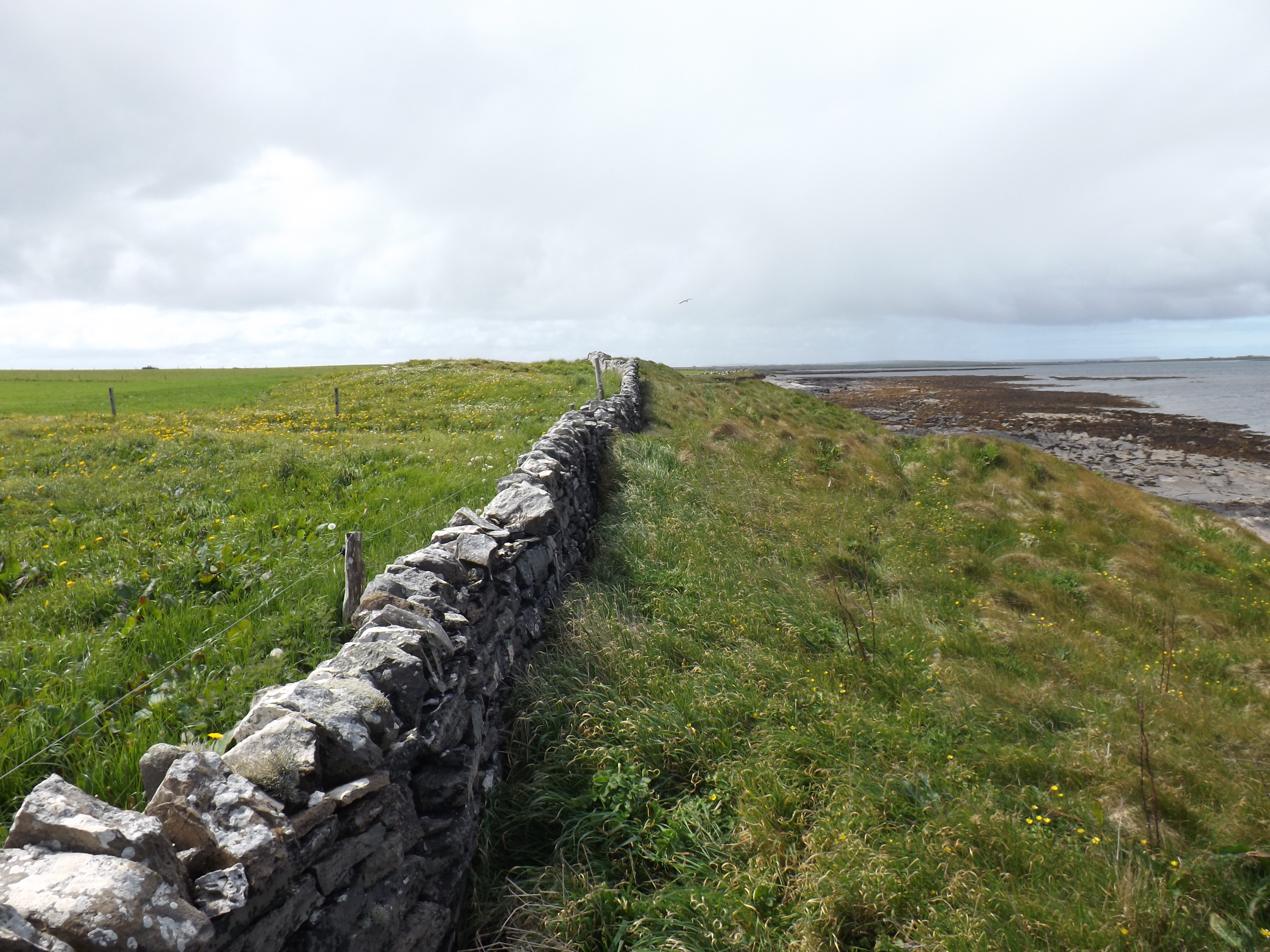
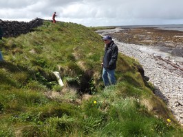
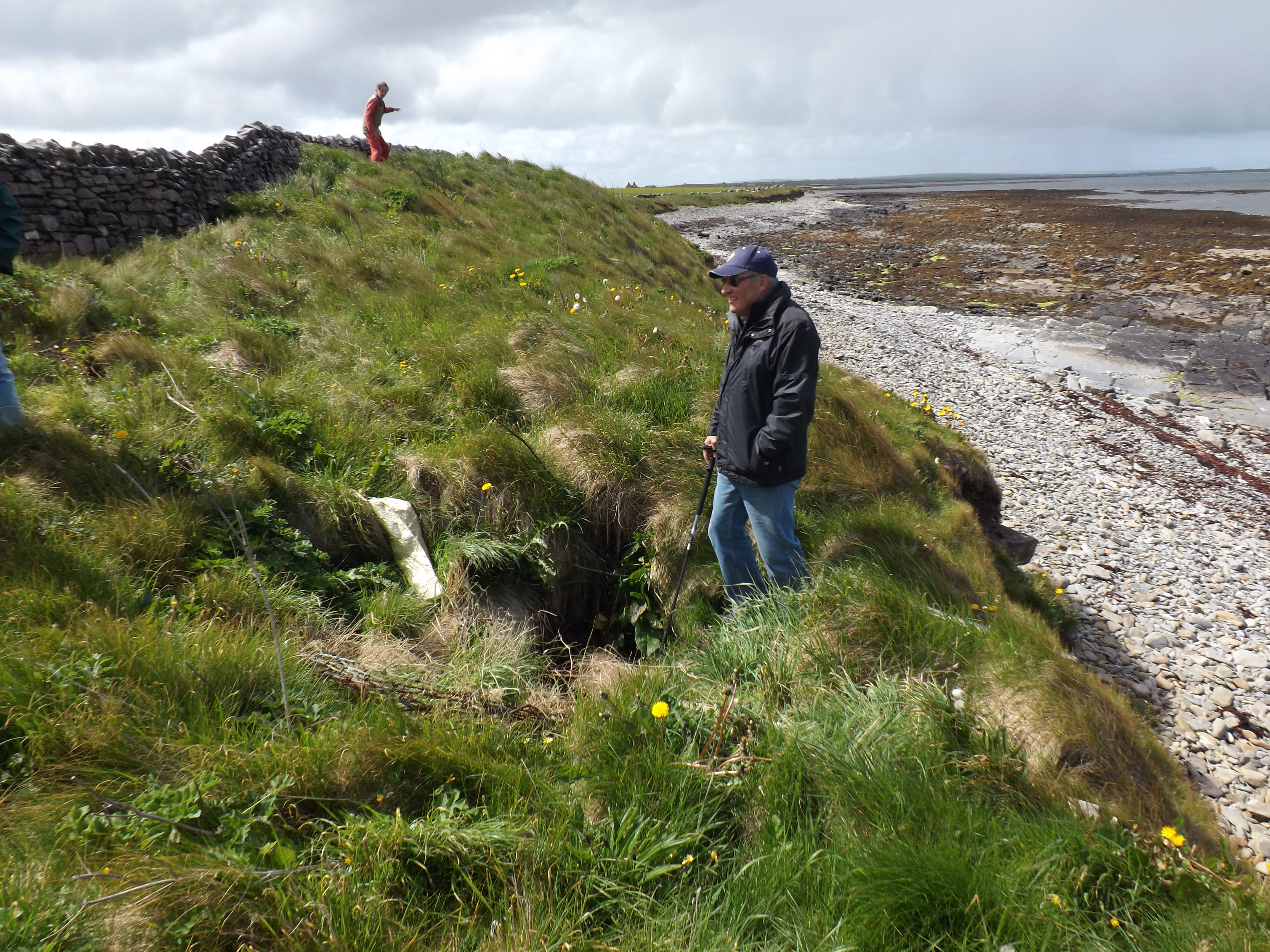
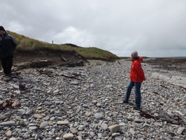
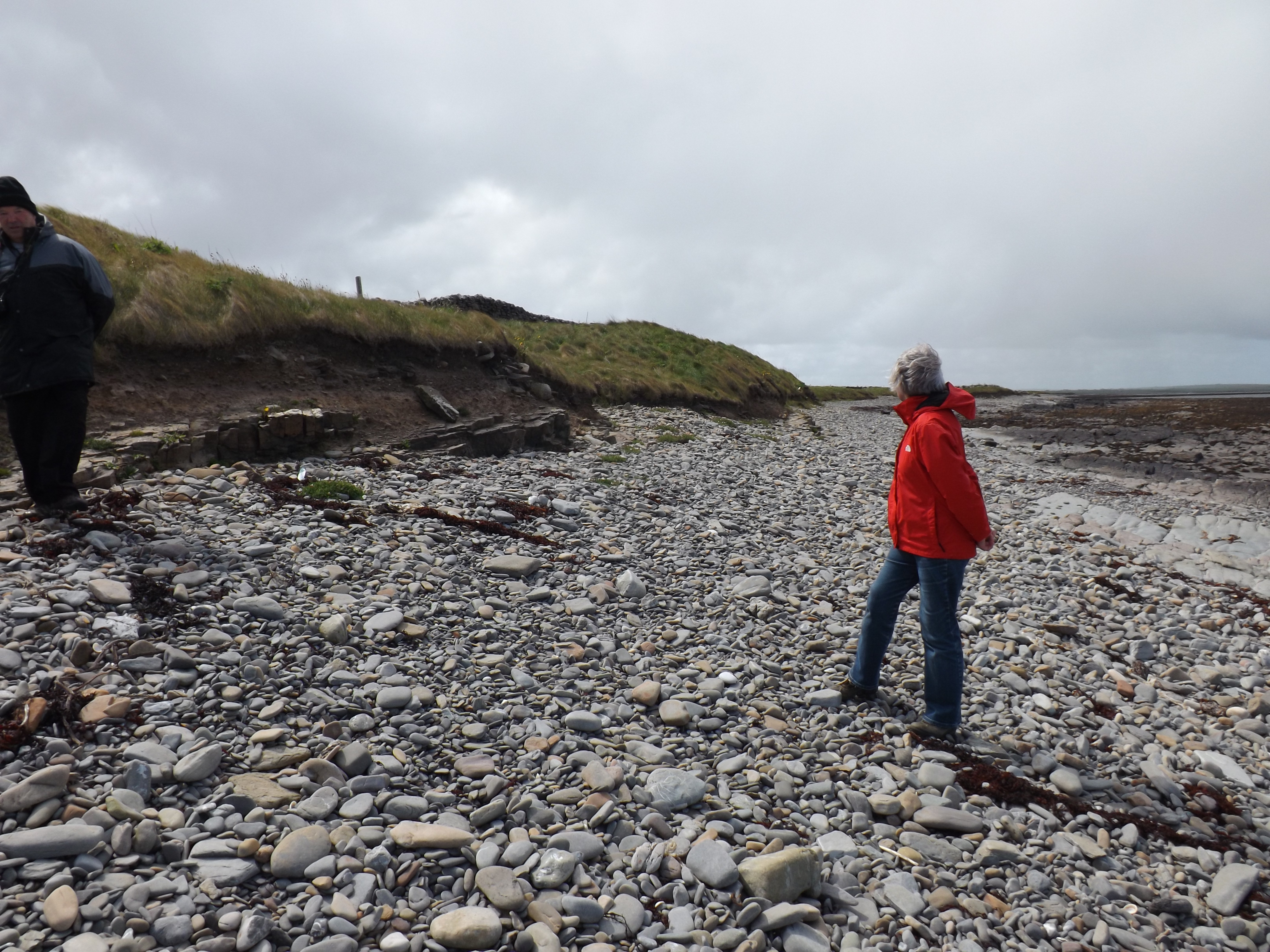
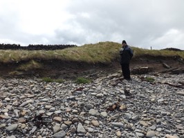
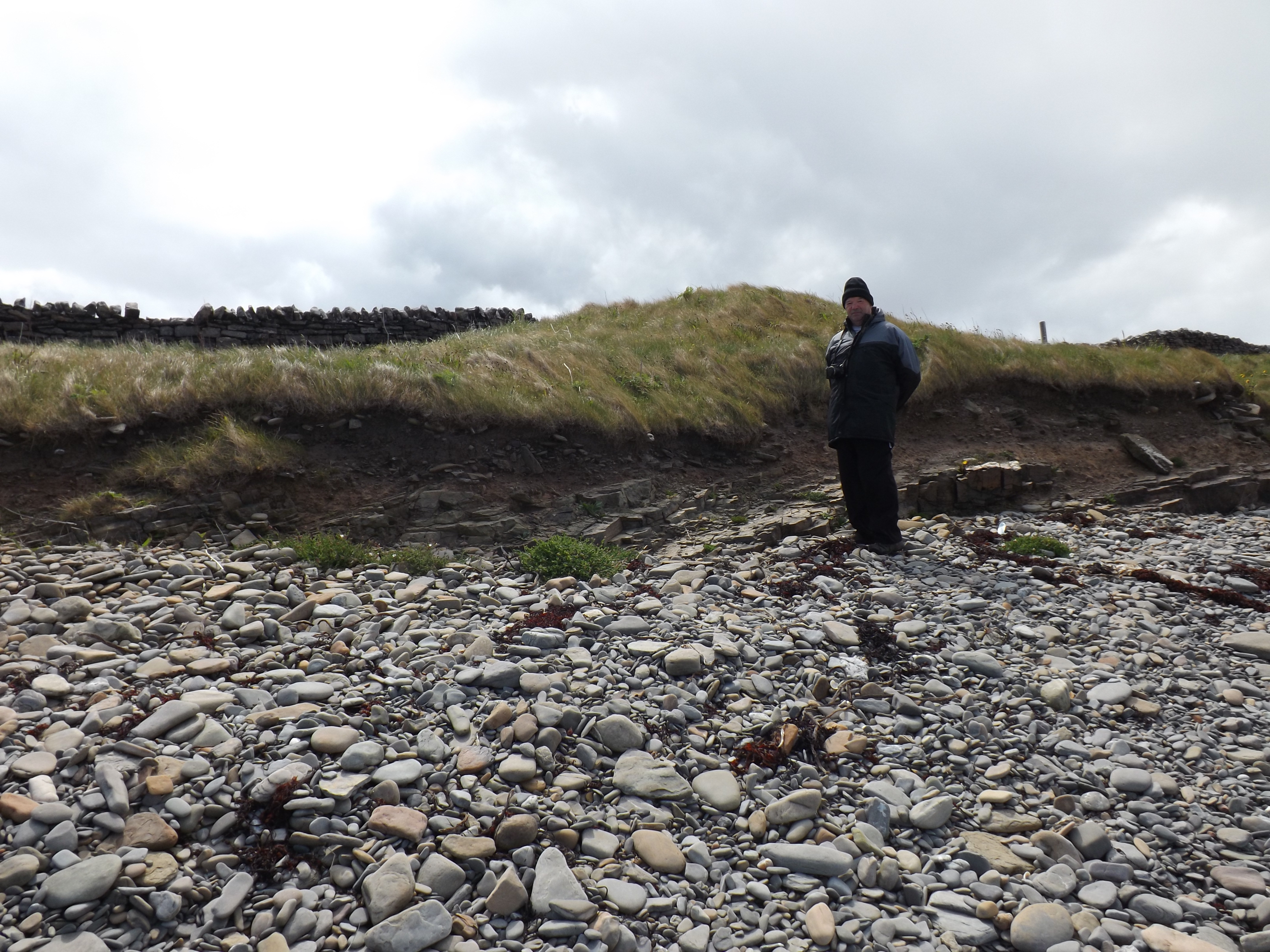
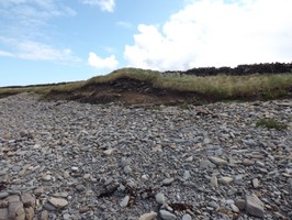
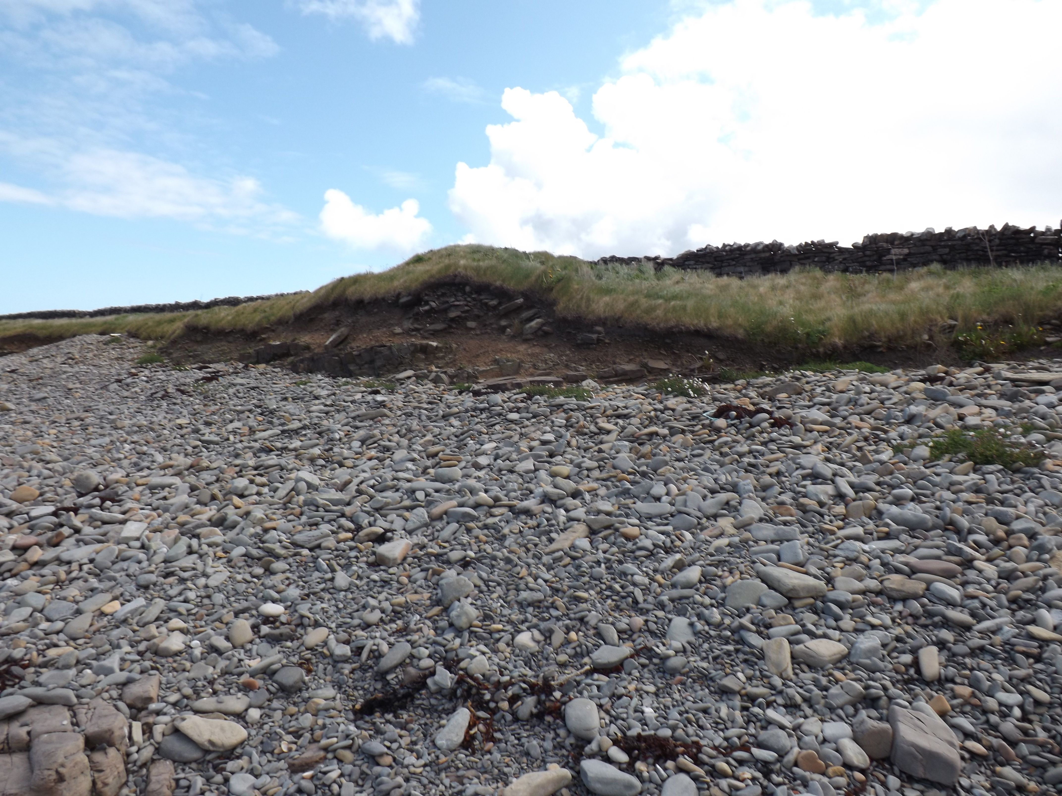
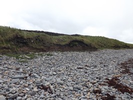
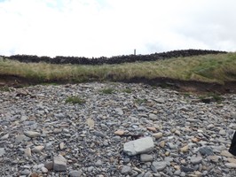
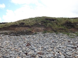
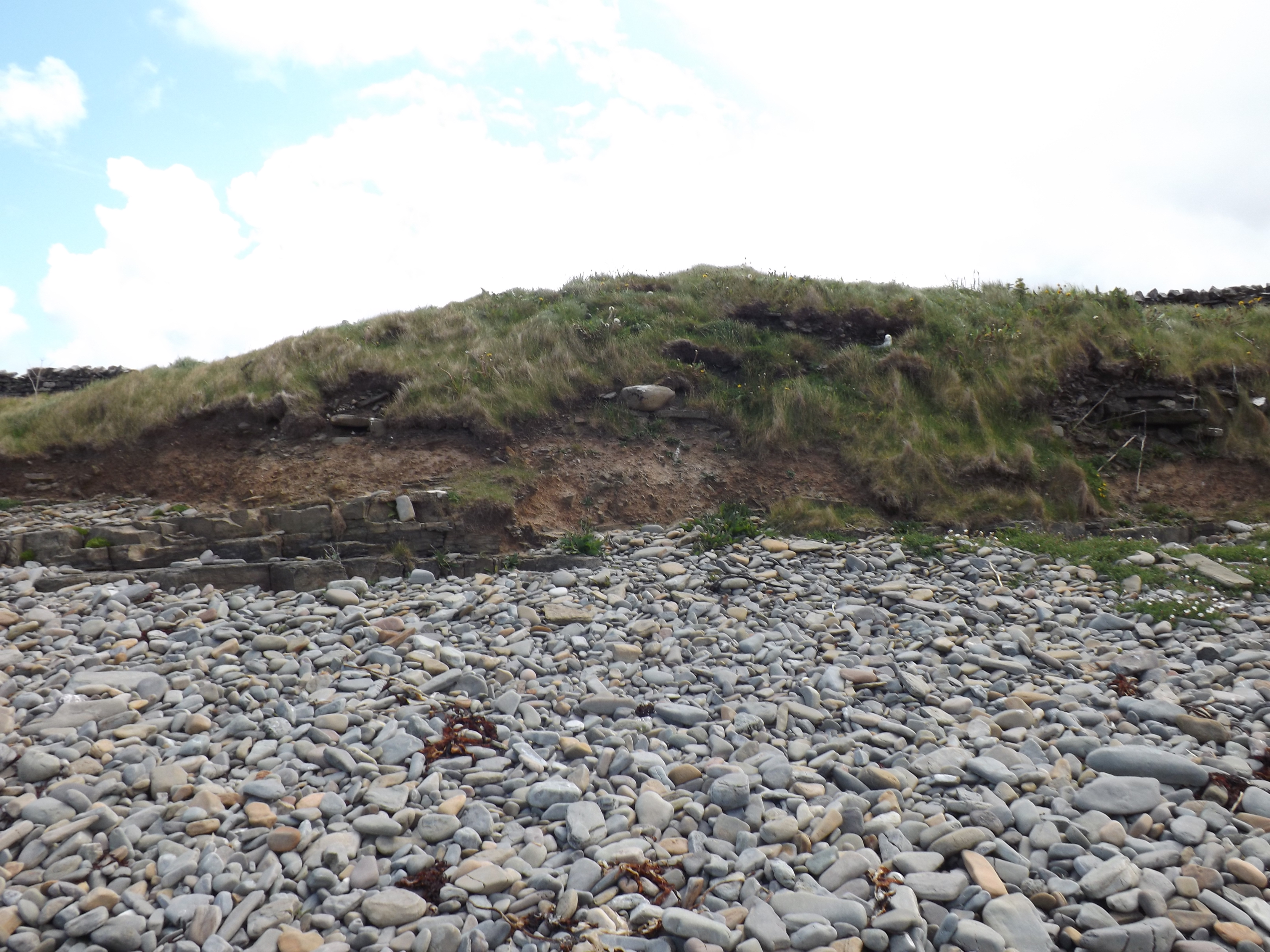
| This alleged site of a chapel and broch is an elongated mound, which has been vertically truncated by coastal erosion. The long axis of the mound runs parallel with the coast; it extends for over 70m and is up to 50m wide. At its highest point, the mound stands to 3.75m above the level of the storm beach. Inland, it extends into a pasture field and is very overgrown. A drystone wall runs along its length. At the highest point of the mound, a curving earthwork may be part of a enclosure; it appears too wide to be part of a broch wall. The erosion face has slumped and is overgrown, but there are intermittent exposures in which archaeological deposits can be seen. These occur mostly towards the base of the section and appear to continue below the level of the present beach. Exposed deposits include layers of very organic soils, some with inclusions of animal bone and shell, and possible fragmentary structures. Previous records mention a stone-lined well of the type often found in association with brochs; this is no longer in evidence. Ref.: RCAHMS (1946), #460; RCAHMS (1980), #181. CP- Site is as described above, although what is thought to be the well was located. Local tradition stated that the well was dangerous and had been infilled with debris such as old fence wire. A deep, drystone lined circular shaft was located on the seaward side of the modern wall. This was obscured by rolls of rusty fencing wire and is most likely the well referred to. I could see no obvious evidence of a chapel but the mound is a classic Orkney broch mound. The erosion face is relatively stable, with only the lower part affected in places. |
Location
| 371360.00 | |
| 1043630.00 | |
| 27700 | |
| 59.2781868 | |
| -2.5043008 |
Submitted photographs
| Image | Date | Caption | User |
|---|---|---|---|
|
26/08/2013 | Coastal exposure E-W 7 | cparker |
|
|||
|
26/08/2013 | Coastal exposure E-W 8 | cparker |
|
|||
|
26/08/2013 | Coastal exoposure E-W 9 | cparker |
|
|||
|
26/08/2013 | Coastal exposure E-W 10 | cparker |
|
|||

|
26/08/2013 | Coastal exposure E-W 11 | cparker |
|
|||
|
26/08/2013 | Coastal exposure, W end | cparker |
|
|||
|
26/08/2013 | Site from W at distance | cparker |
|
|||

|
26/08/2013 | landward side of site from E | cparker |
|
|||
|
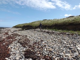
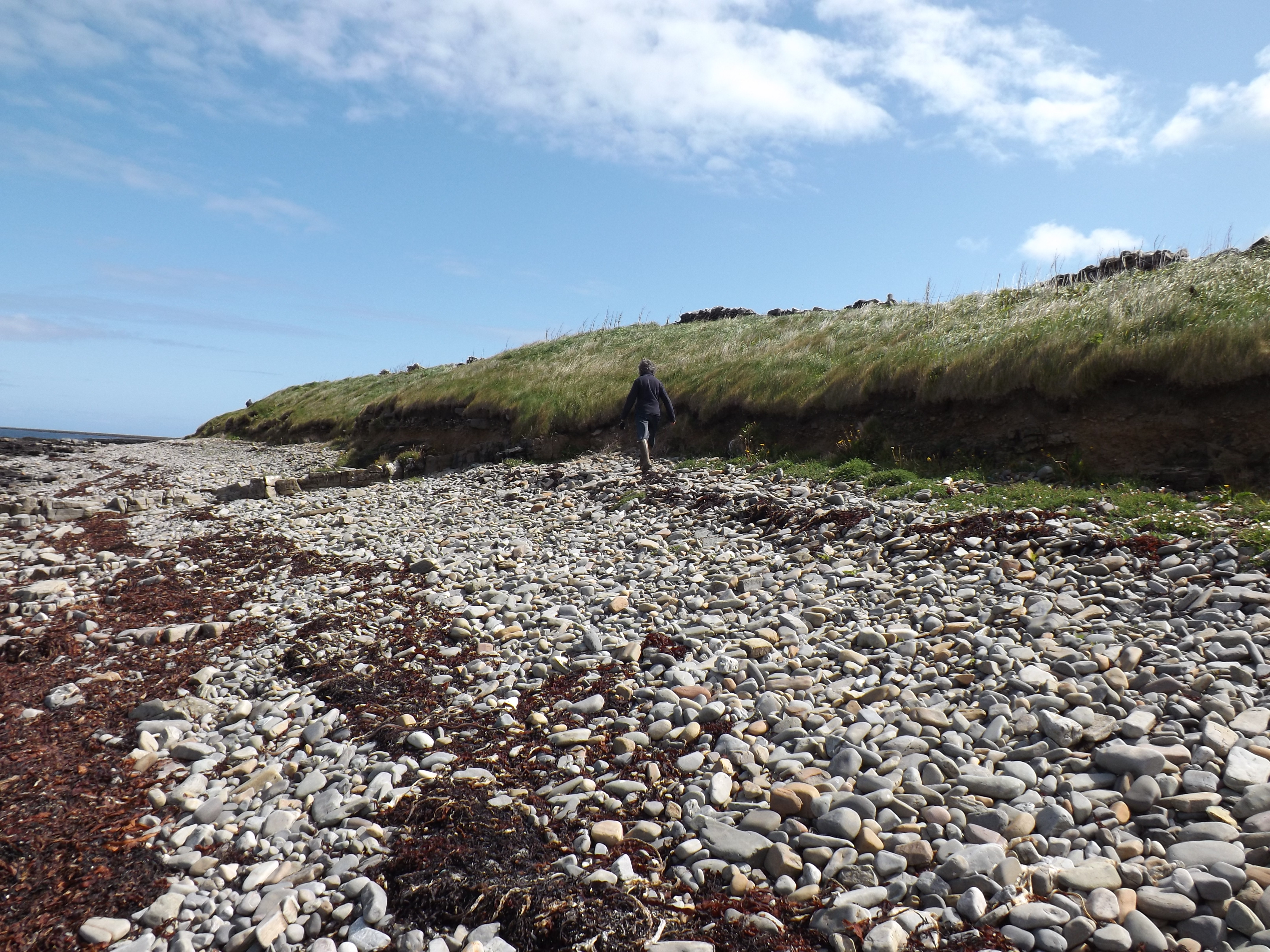
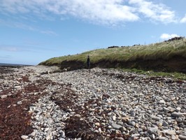
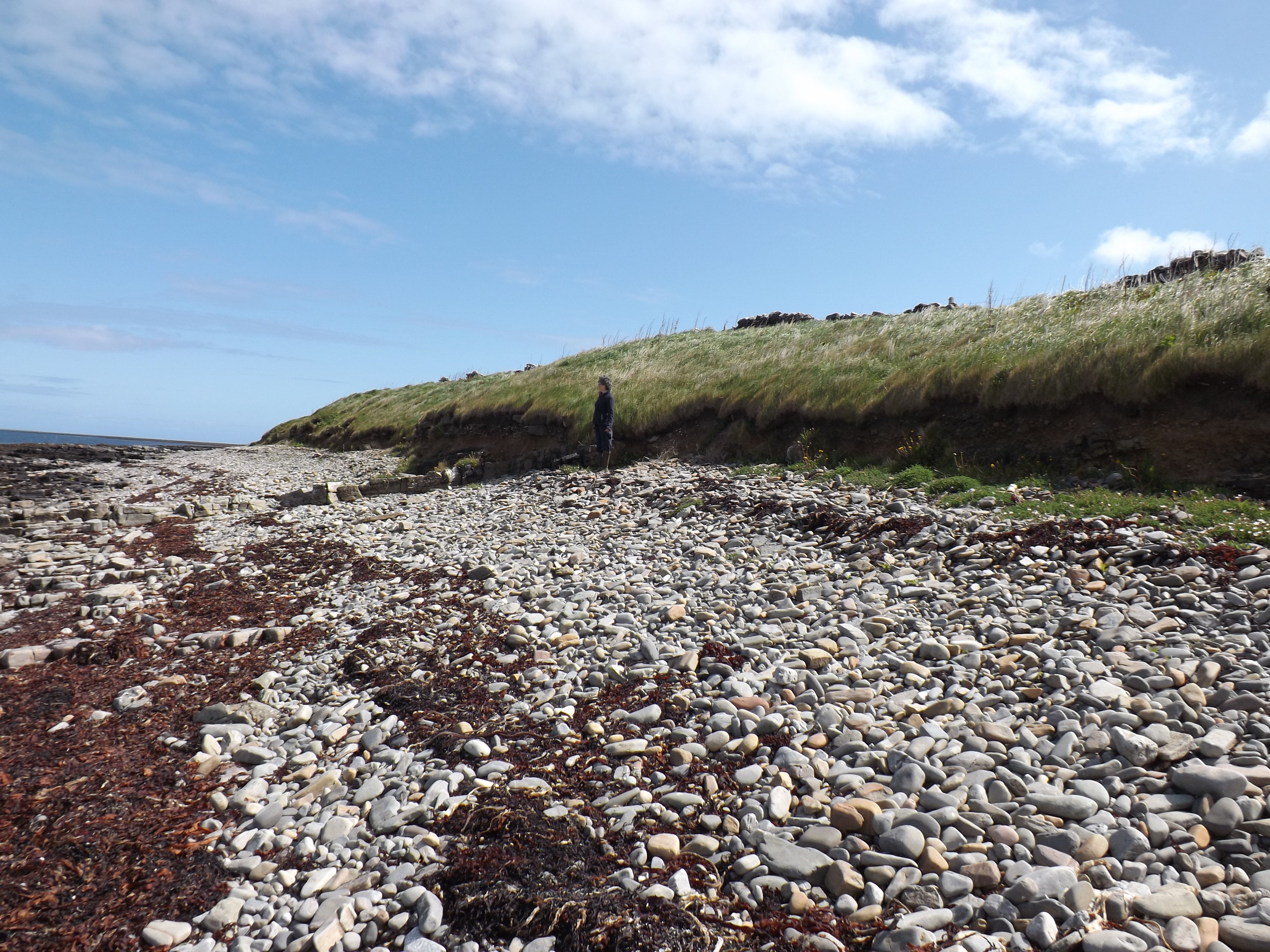
26/08/2013 | Ean Peace contemplates the well | cparker |
|
|||
|
26/06/2013 | Coastal exposure E-W 3 | cparker |
|
|||
|
26/06/2013 | coastal exposur E-W 2 | cparker |
|
|||
|
26/06/2013 | Coastal side E-W 1. | cparker |
|
|||
|
26/08/2013 | Coastal exposure E-W 6 | cparker |

|
|||
|
26/08/2013 | Coastal exposure E-W 4 | cparker |

|
|||
|
26/08/2013 | Coastal exposure E-W 5 | cparker |
|
|||
Submitted updates
| Update id | Date | User | ||||||||||||||||||||||
|---|---|---|---|---|---|---|---|---|---|---|---|---|---|---|---|---|---|---|---|---|---|---|---|---|
| 1229 | 26/06/2013 | cparker | ||||||||||||||||||||||
|
||||||||||||||||||||||||