Backaskaill (6736)
Condition
| 2 | |
| Possible broch | |
| Iron Age | |
| 3414 | |
| SMR100 | |
| Orkney |
Description
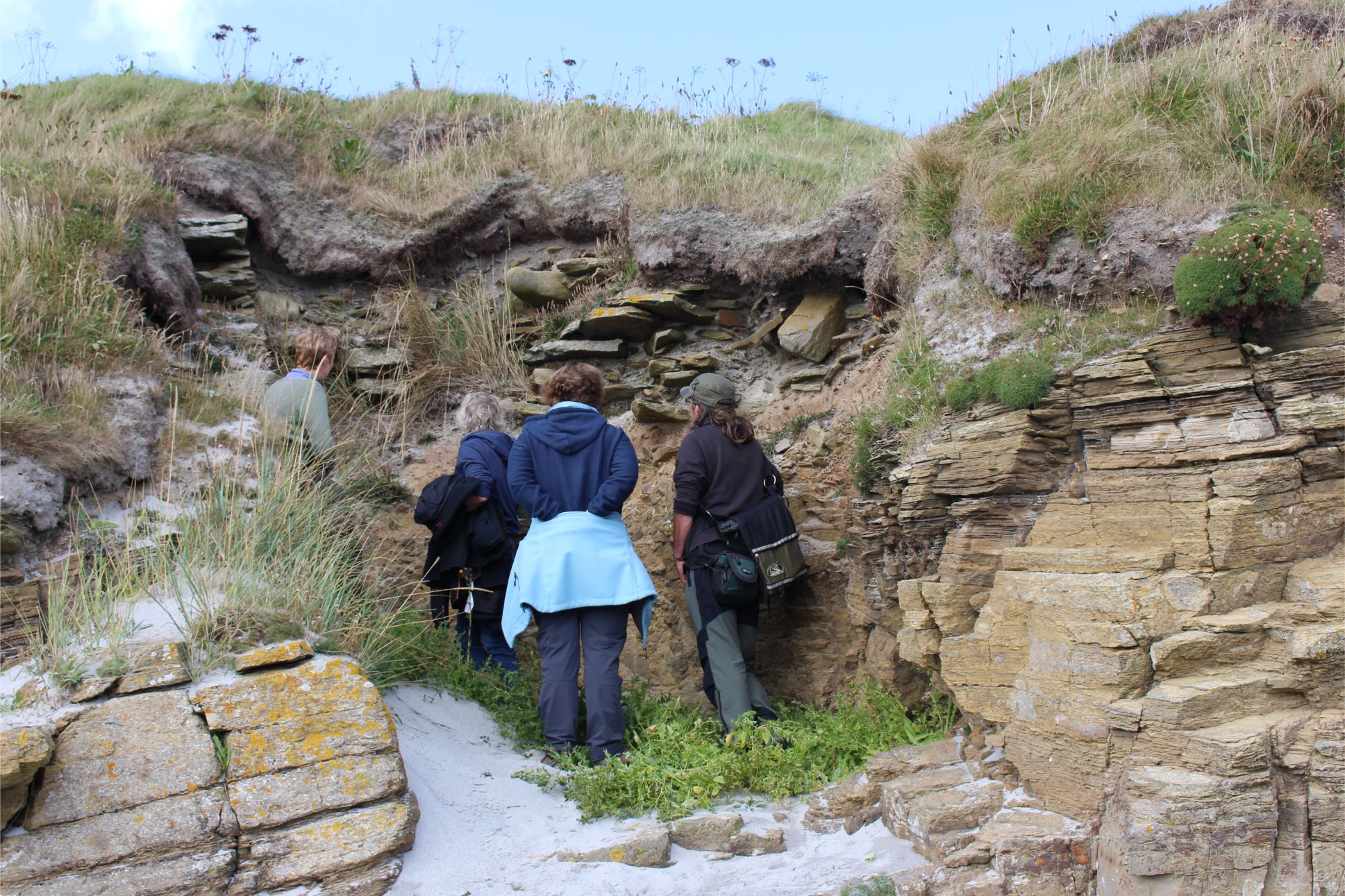
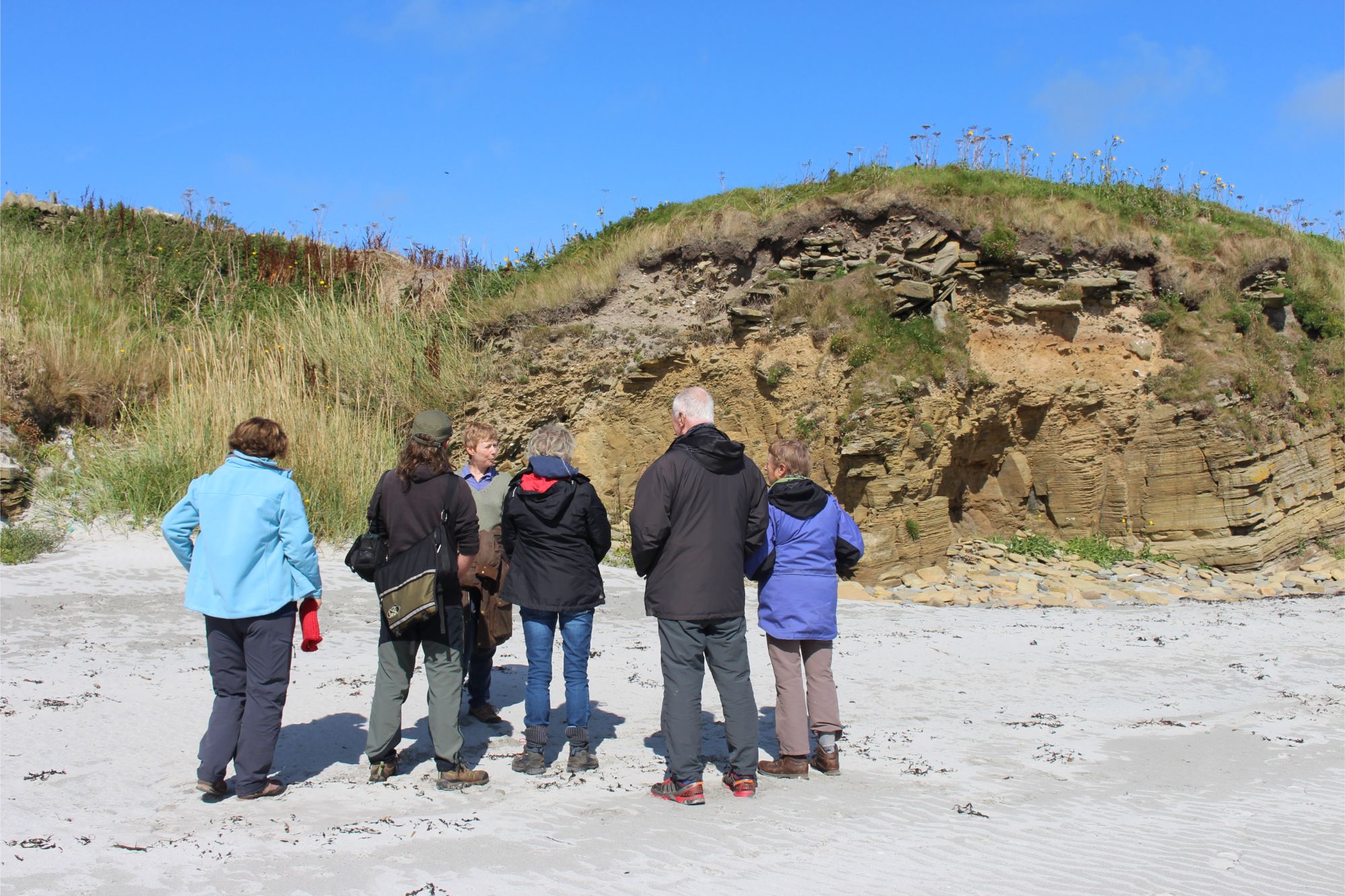
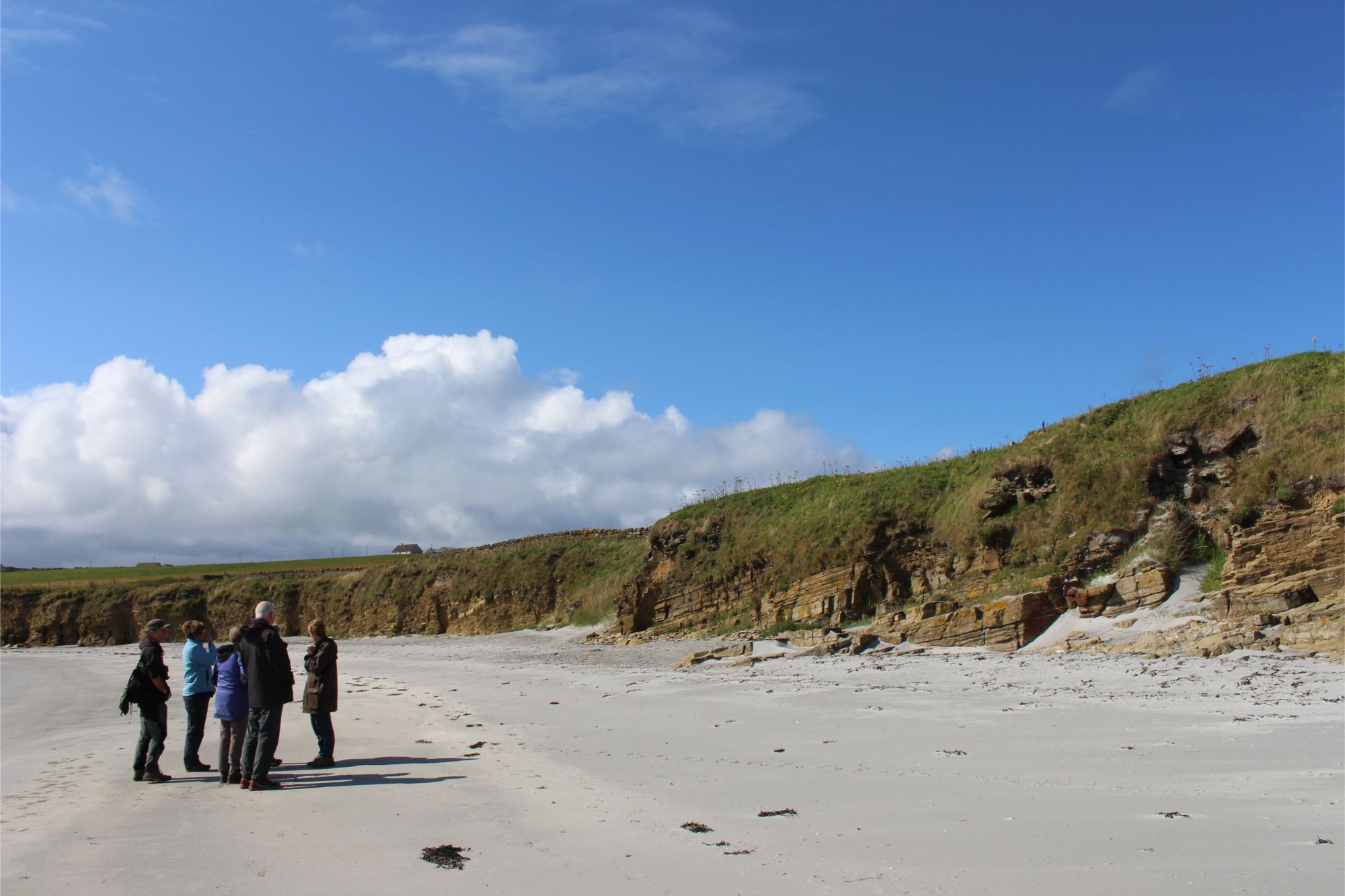
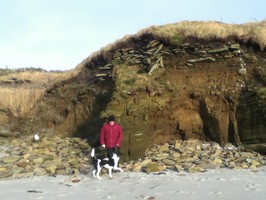
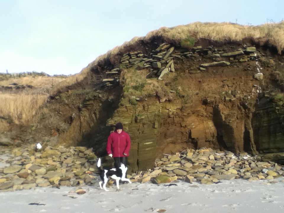
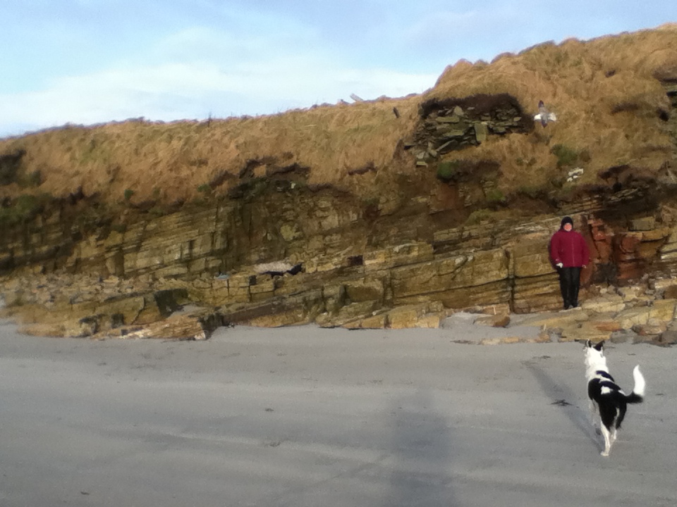
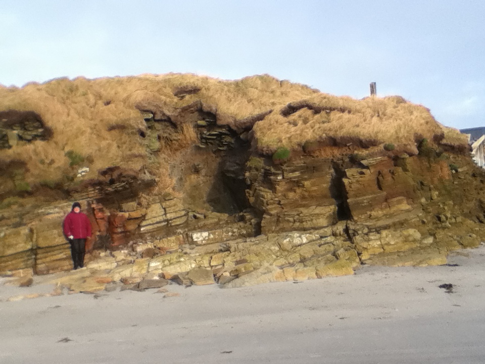
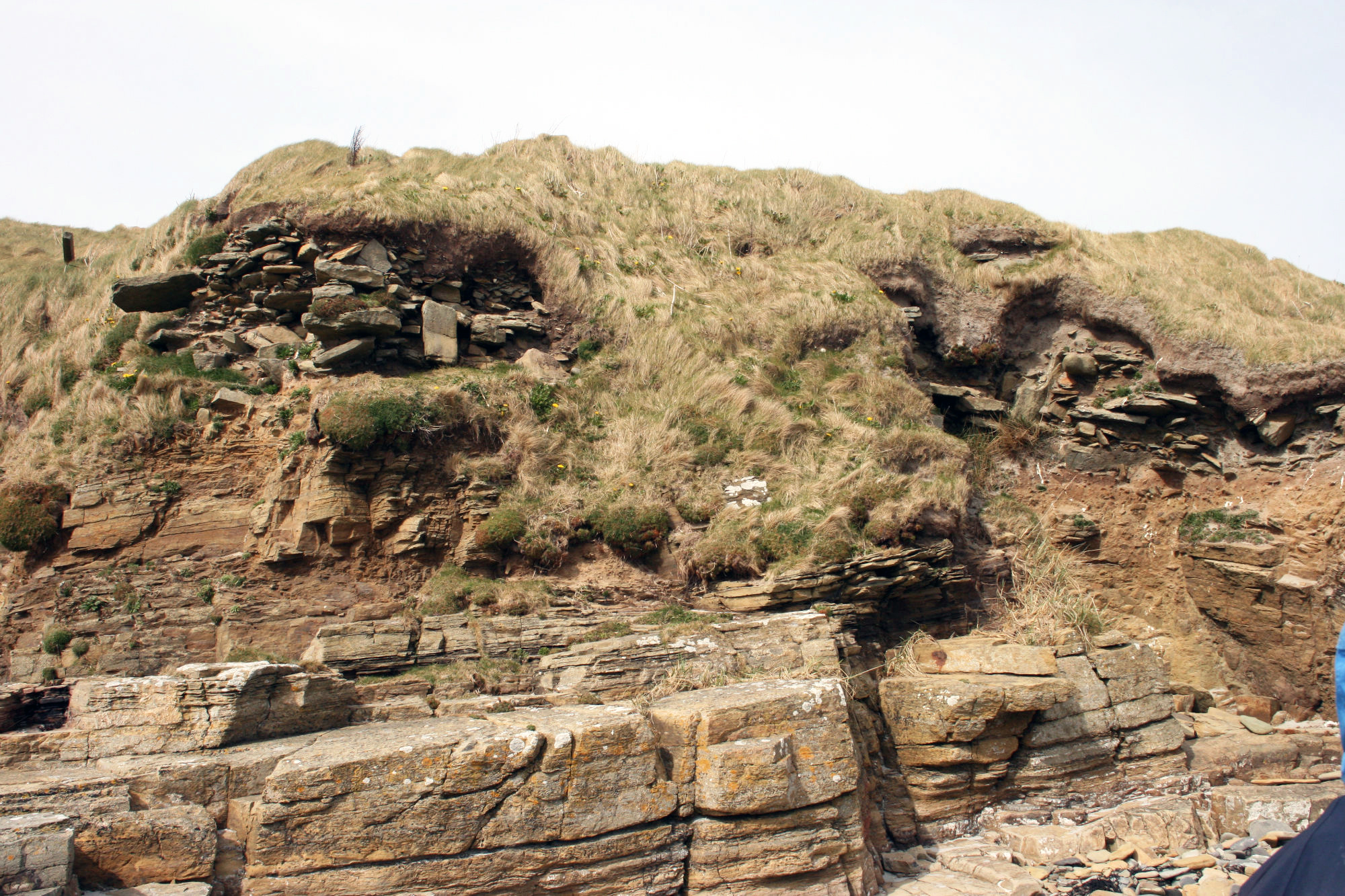
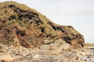
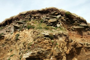
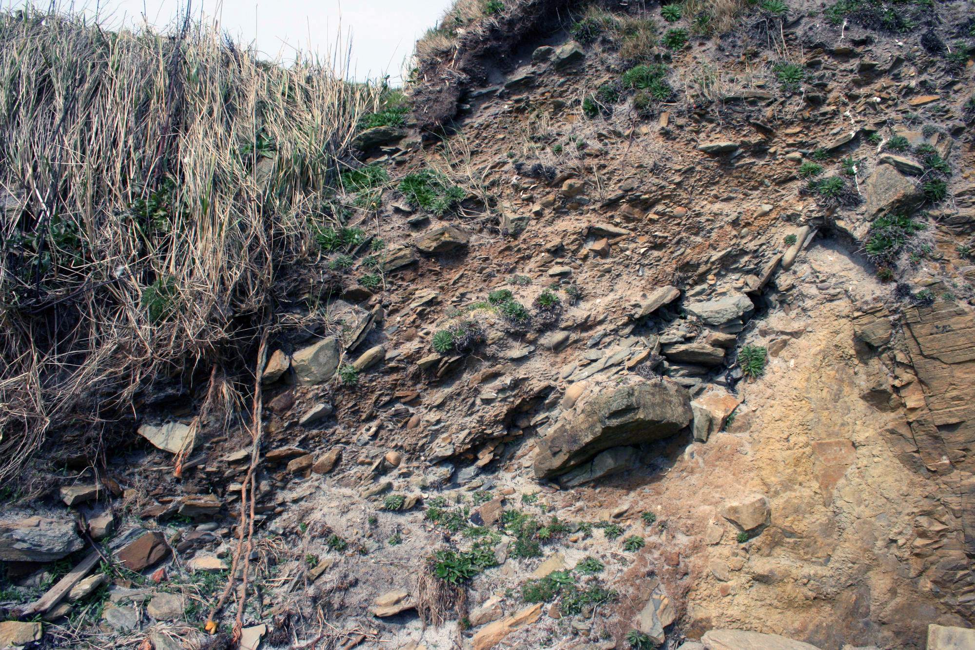
| The site of a large structure of apparent prehistoric date, most likely a broch, lies on a rocky outcrop beside the coast edge. Petrie investigated the remains in 1867 and noted that the main structure was surrounded by a ring of large stones and that the walls had a considerable batter. The site has been badly damaged in the past by deliberate leveling and what remains is now subject to destruction by sea erosion and through small-scale sand extraction. In the coastal section, erosion has exposed midden and fragmentary structural deposits over a distance of some 20m; deep anthropogenic soils extend to the west of this for almost 100m. The structural remains include a 3m thick wall, double faced with a soil and rubble core and fragmentary floor surfaces. The midden deposits contain inclusions of bone, peatash, burnt clay and shell. Traces of an OGS are intermittently visible beneath the structural remains. To the rear of the coast, a grassy mound measuring 20m in diameter and standing up to 1.75m high may mark the presence of further buried deposits. Ref.: Petrie, G, (1859-73) Note book 9, 35; RCAHMS (1946) #159; RCAHMS (1980), #58. FEB 2015- no significant changes. ShoreUPDATE 25/08/2018 As described, no significant changes |
Location
| 364140.00 | |
| 1039190.00 | |
| 27700 | |
| 59.2377663 | |
| -2.6302459 |
Submitted photographs
| Image | Date | Caption | User |
|---|---|---|---|

|
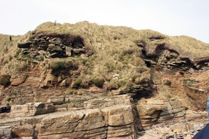
19/12/2019 | Aug 2018: stonework visible at east side of mound | training1 |
|
|||

|
19/12/2019 | Aug 2018: stonework visible at west side of mound | training1 |
|
|||

|
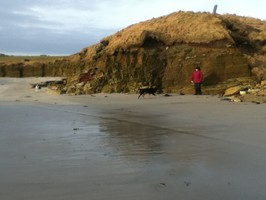
19/12/2019 | Aug 2018: general view of Backaskaill along coast edge | training1 |
|
|||
|
10/02/2015 | Backaskaill - stonework visible at west side of the mound | cparker |
|
|||
|
10/02/2015 | Backaskaill - stonework visible in eroded coast edge | cparker |
|
|||

|
10/02/2015 | Backaskaill - stonework visible in eroded coast edge | cparker |
|
|||
|
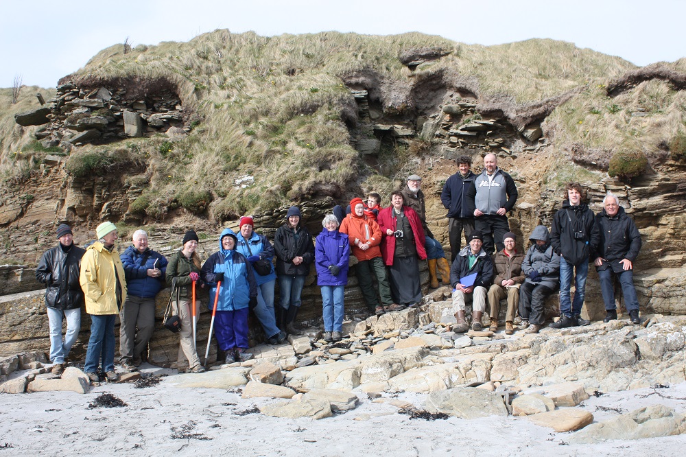
10/02/2015 | Backaskaill - general view of the site | cparker |

|
|||

|
06/01/2015 | East side of mound with human scales | training1 |
|
|||
|
06/01/2015 | Closer view of structues on east side of mound, looking N | training1 |
|
|||
|
06/01/2015 | Closer view of structural remains on east side of mound | training1 |

|
|||
|
06/01/2015 | Detail of perimeter walling on east side of ditch | training1 |

|
|||

|
06/01/2015 | Detail of cut (east side) for ditch | training1 |
|
|||

|
06/01/2015 | General view of section across possible broch showing perimeter walls and ditch to left (west) of image looking NE | training1 |

|
|||
Submitted updates
| Update id | Date | User | ||||||||||||||||||||||||
|---|---|---|---|---|---|---|---|---|---|---|---|---|---|---|---|---|---|---|---|---|---|---|---|---|---|---|
| 3316 | 19/12/2019 | training1 | ||||||||||||||||||||||||
|
||||||||||||||||||||||||||
| 1894 | 06/01/2015 | training1 | ||||||||||||||||||||||||
|
||||||||||||||||||||||||||