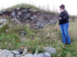
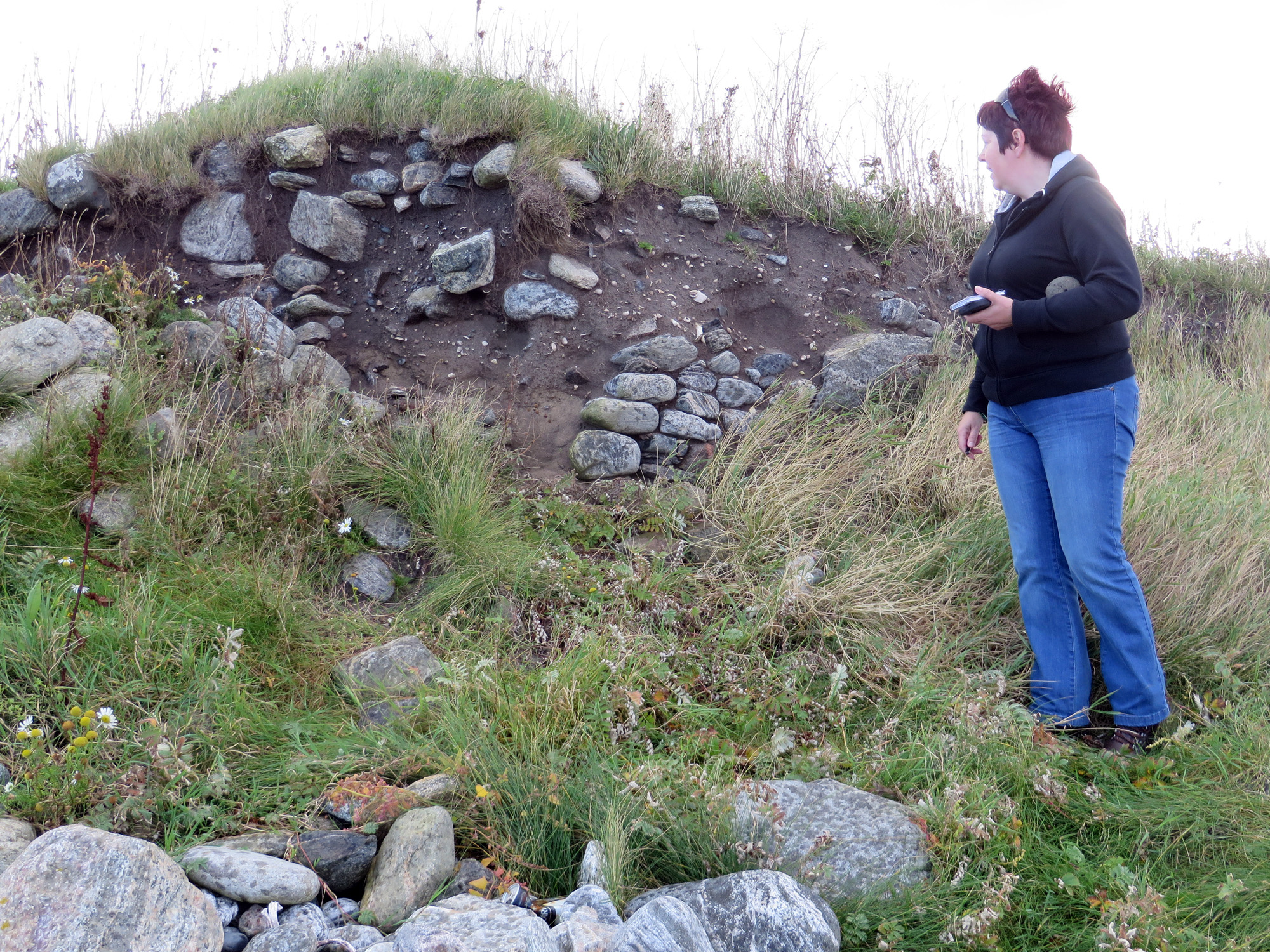
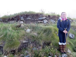
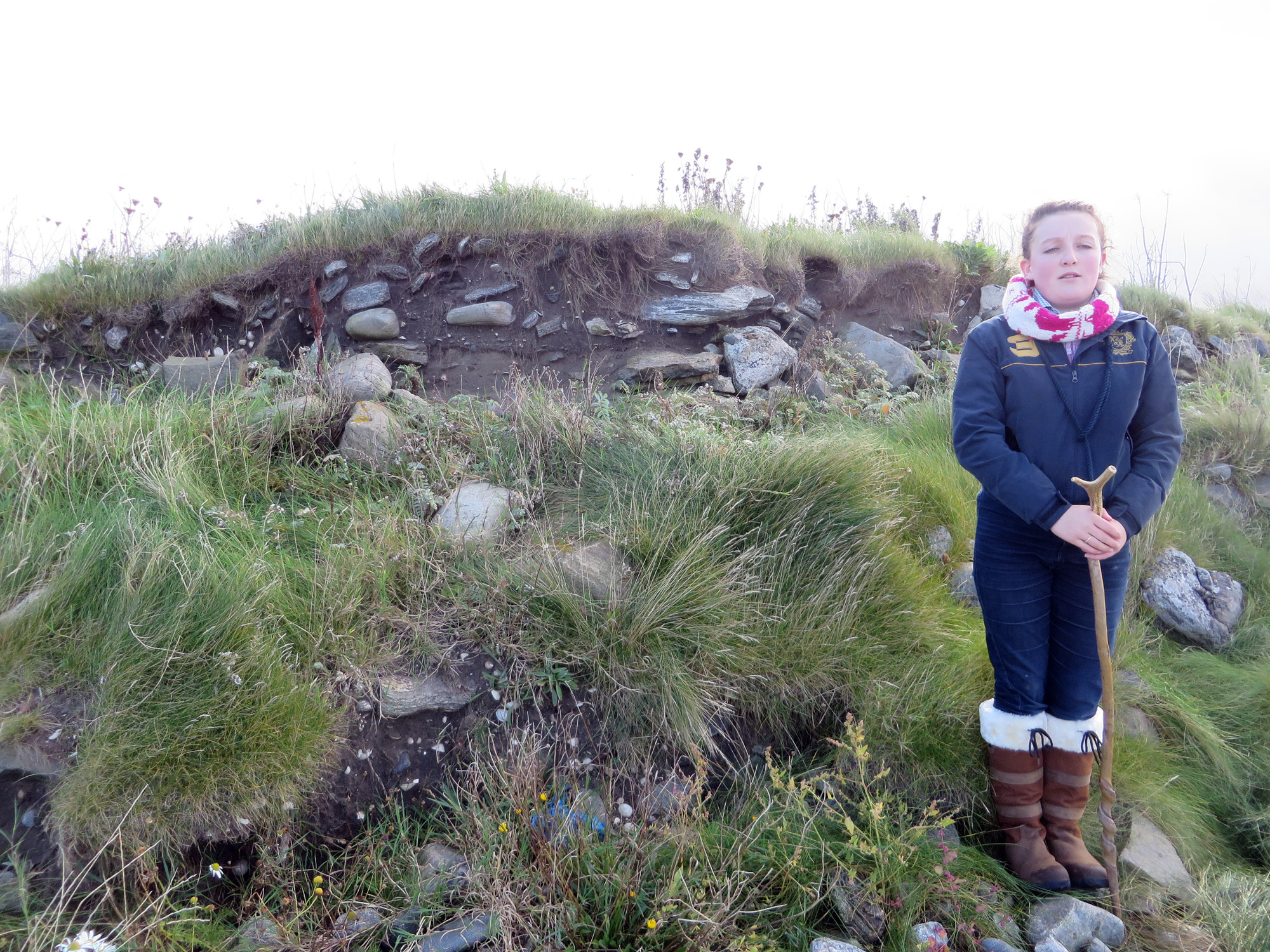
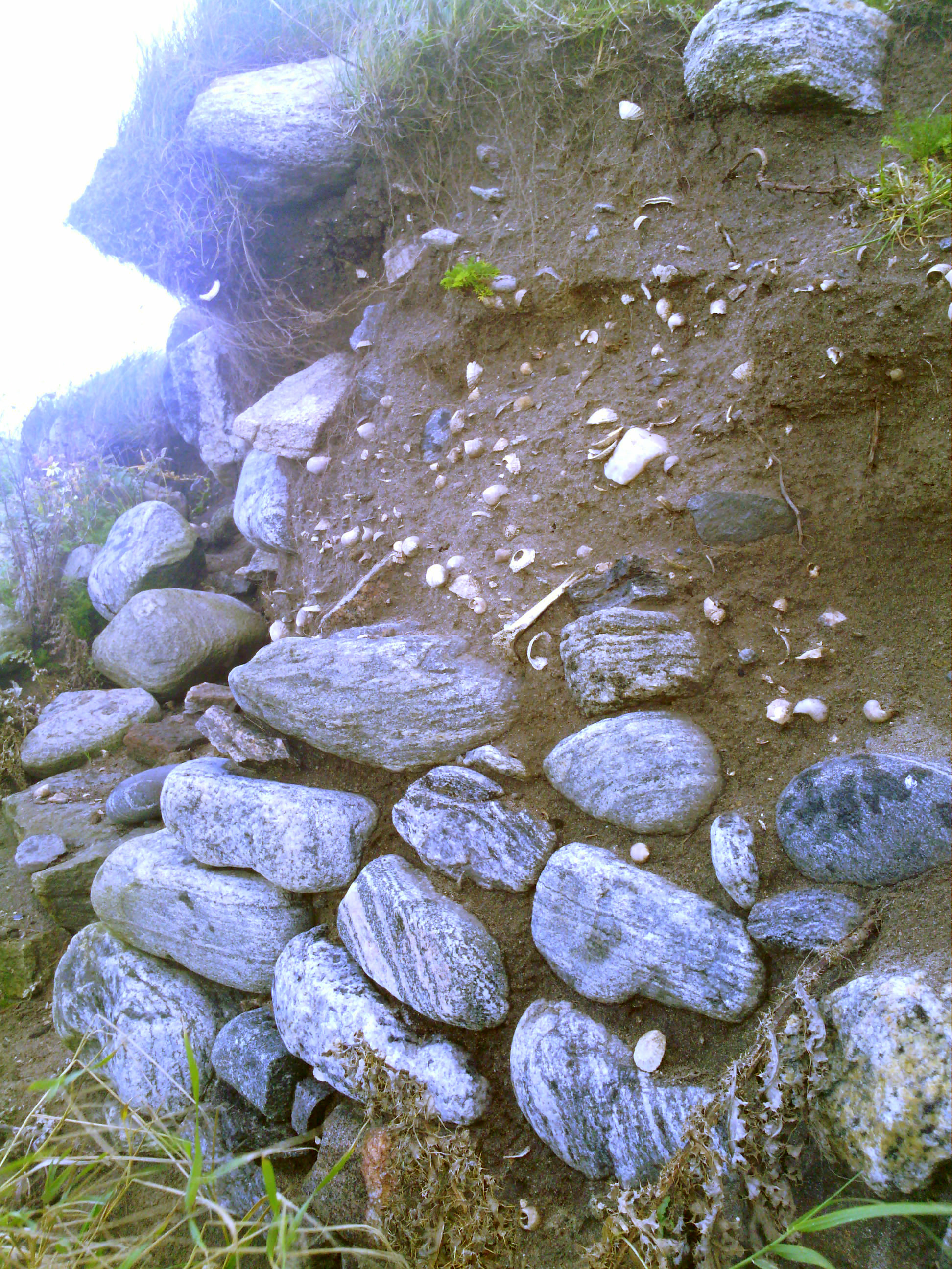
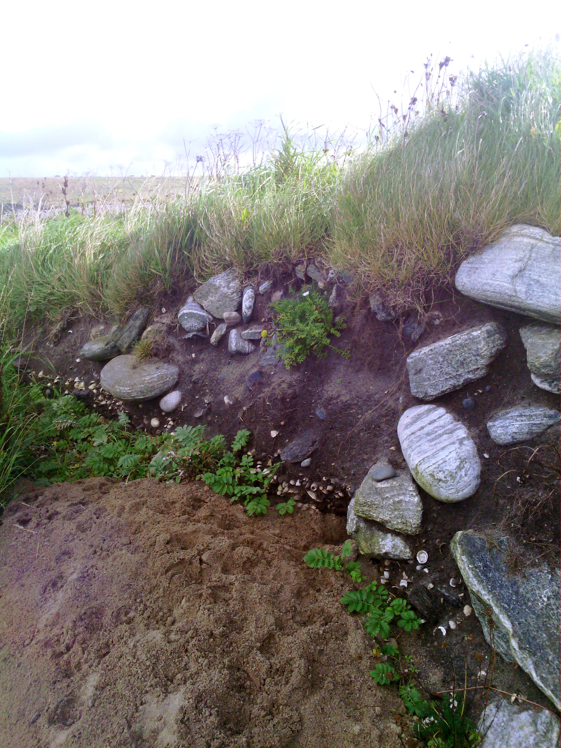
The abandoned settlement of Old Arnol. Stone-built houses, successive occupation layers and midden deposits are visible in the eroding coast edge. The associated field system is visible in the immediate hinterland. Finds including pottery (Iron Age to medieval in date), stone tools, metal slag, a bronze brooch and an antler comb have been recovered.
The settlement is depicted on the 1st edition OS map as nine unroofed buildings and fifteen enclosures.
Update 20.09.2014:
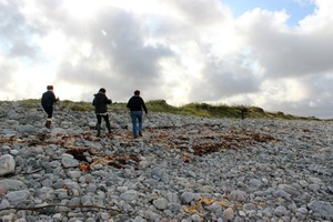
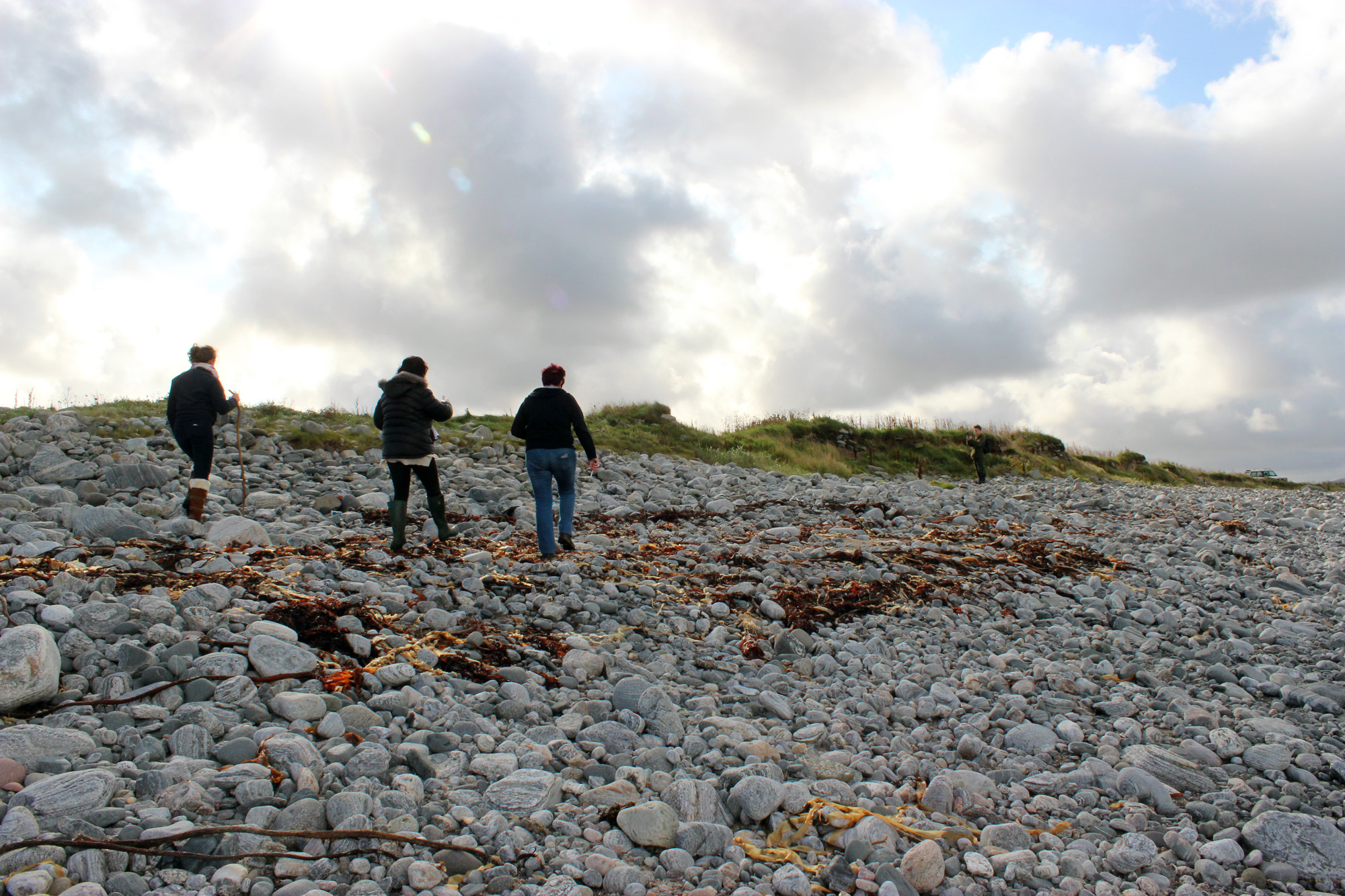
Exposure extends around 100 paces along coast edge. At least 13 stone structures visible; 2-3 phases of dry stone masonry are visible throughout the section. Roofing slate and modern mortar noted at top section at south end of exposure. Pieces of pottery and burnt (animal) bones were found within the wall structures. Hammer stone found at base of section towards the middle.
Extensive peat deposits with wooden fragments can be found below the site in the lower shore zone (intertidal).
Location
130260.00
949370.00
27700
58.3495407
-6.6122141
Submitted photographs
Image
Date
Caption
User
20/09/2014
Structural masonry
Maggie65
20/09/2014
Showing structural masonry
Maggie65
20/09/2014
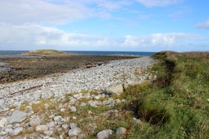
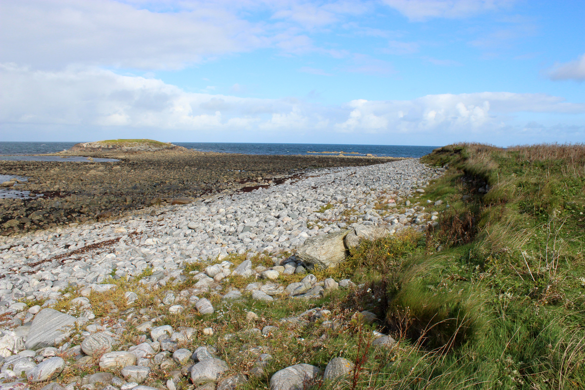
View of section looking East. Intertidal peat beneath boulders in intertidal zone. Eilean Arnol in background.
Maggie65
20/09/2014
General view to show extent of section, looking SW
Maggie65
20/09/2014
Stones from a structure, top soil over-hanging and a midden layer.
Kalliope
20/09/2014
Looking northeast, evidence of structures in section.
Kalliope
Submitted updates
Update id
Date
User
1799
20/09/2014
Maggie65
Tidal state
Mid
Site located?
Yes
Proximity to coast edge
Coast edge
Coastally eroding?
active sea erosion
Threats
animal burrows
Visibility above ground
Limited visibility (partial remains)
Visibility in section
Limited visibility in section
Access
accessible - difficult terrain; vehicular access; accessible on foot (no footpath)
Local knowledge
is well known; has local associations/history
Description
The abandoned settlement of Old Arnol. Stone-built houses, successive occupation layers and midden deposits are visible in the eroding coast edge. The associated field system is visible in the immediate hinterland. Finds including pottery (Iron Age to medieval in date), stone tools, metal slag, a bronze brooch and an antler comb have been recovered.
The settlement is depicted on the 1st edition OS map as nine unroofed buildings and fifteen enclosures.
Update 20.09.2014:
Exposure extends around 100 paces along coast edge. At least 13 stone structures visible; 2-3 phases of dry stone masonry are visible throughout the section. Roofing slate and modern mortar noted at top section at south end of exposure. Pieces of pottery and burnt (animal) bones were found within the wall structures. Hammer stone found at base of section towards the middle.
Extensive peat deposits with wooden fragments can be found below the site in the lower shore zone (intertidal).
High energy environment - to be monitored after storms, especially south westerly gales.
Currently Priority 1. Lower to Priority 2/3.
Comments
This site is potentially important due to inter tidal peat, possibly associated with settlement. It appears the exposure is more extensive since last survey.
Updated by Jann Skelly & Margaret Maciver and UHI archaeology students.