Skelbo dunes, Loch Fleet coastal exposure (12674)
Description
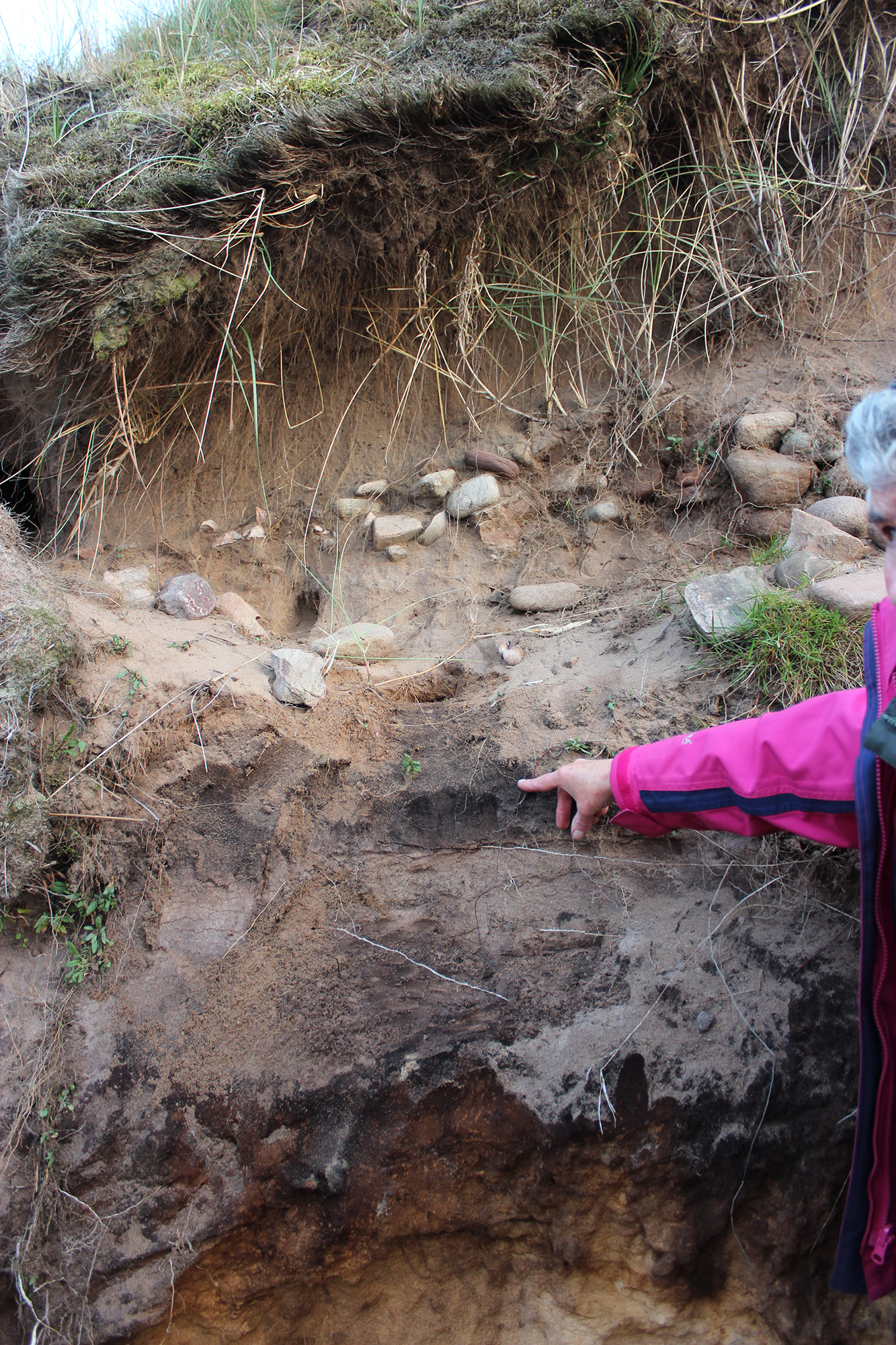
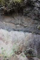
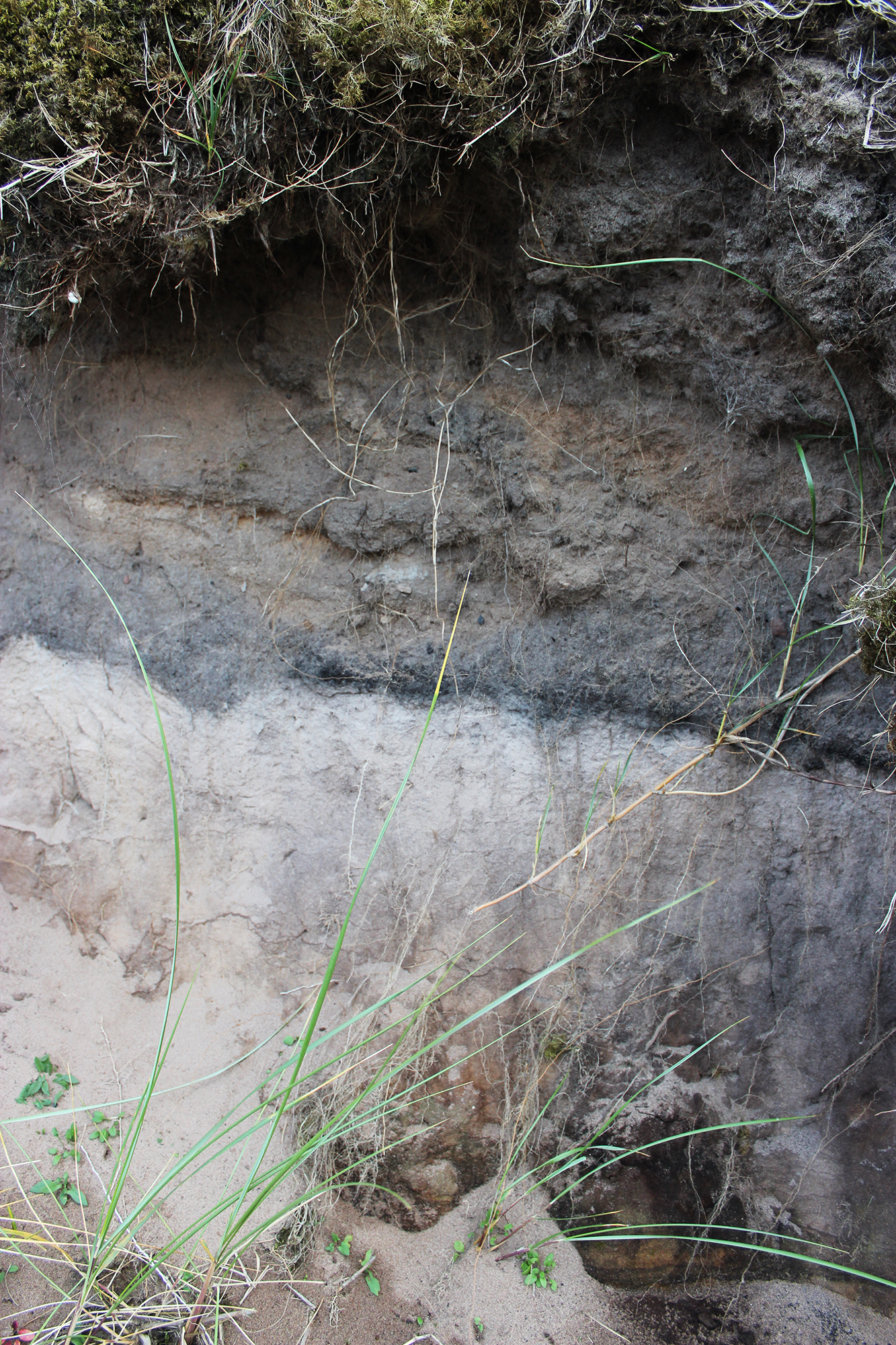
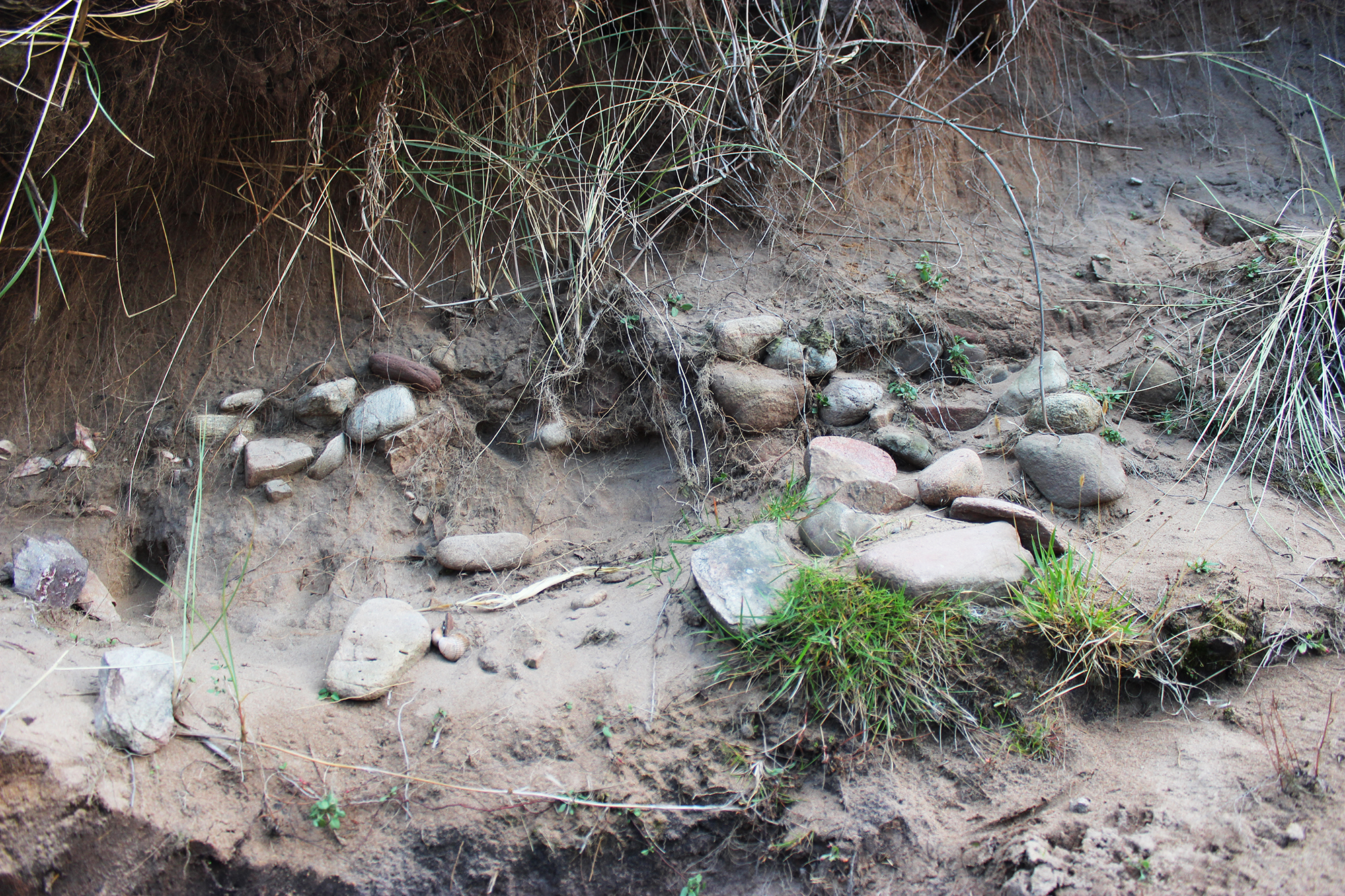
| Possible prehistoric site in eroding dune. Anthropogenic layer including buried soil, charcoal and fire cracked stone. May be related to previously recorded find spot (Site 11786; NMRS 15347; SMR MHG11655) of leaf shaped arrow head and rough stone axes approx. 50m north of the exposure. |
Location
| 279992.00 | |
| 894972.00 | |
| 27700 | |
| 57.9278908 | |
| -4.0280051 |
Submitted photographs
| Image | Date | Caption | User |
|---|---|---|---|
|
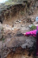
20/09/2013 | Detail of buried soil and fire-cracked pebbles | evelix |
|
|||

|
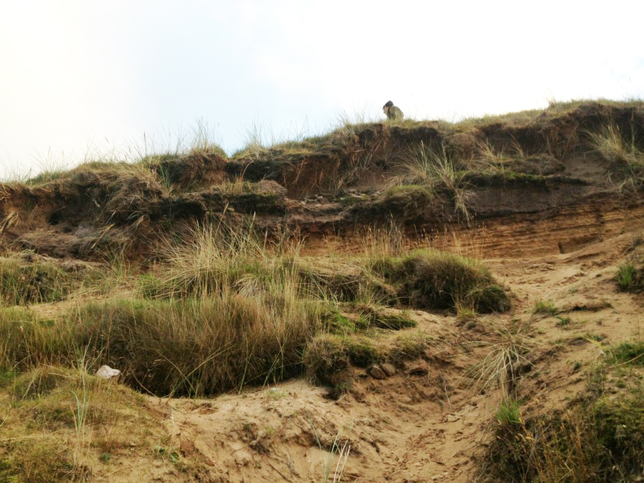
20/09/2013 | General view looking south | joannahambly |
|
|||
|
20/09/2013 | Site location, looking east | evelix |

|
|||
|
20/09/2013 | Detail of charcoal layer | evelix |
|
|||

|
20/09/2013 | Detail of pebbles | evelix |
|
|||
|
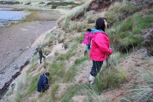
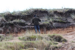
20/09/2013 | John examining section | evelix |

|
|||
Submitted updates
| Update id | Date | User | ||||||||||||||||||||||
|---|---|---|---|---|---|---|---|---|---|---|---|---|---|---|---|---|---|---|---|---|---|---|---|---|
| 1336 | 20/09/2013 | evelix | ||||||||||||||||||||||
|
||||||||||||||||||||||||